The Canadian Rockies
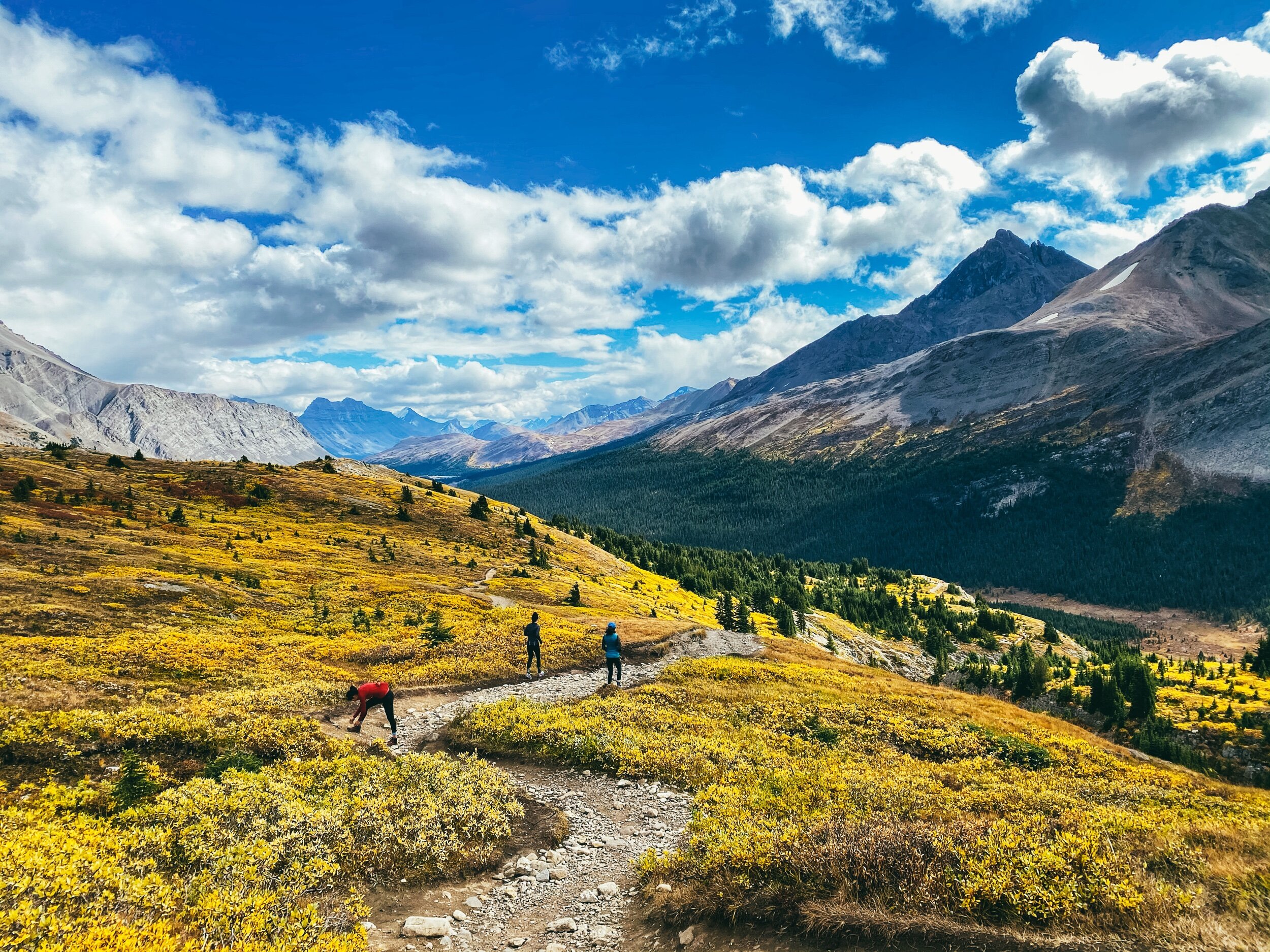
Wilcox Pass
View of the Athabaska Glacier from Wilcox Pass.
Wilcox Pass
View of the Athabaska Glacier from Wilcox Pass.
Looking at the Columbia Icefield
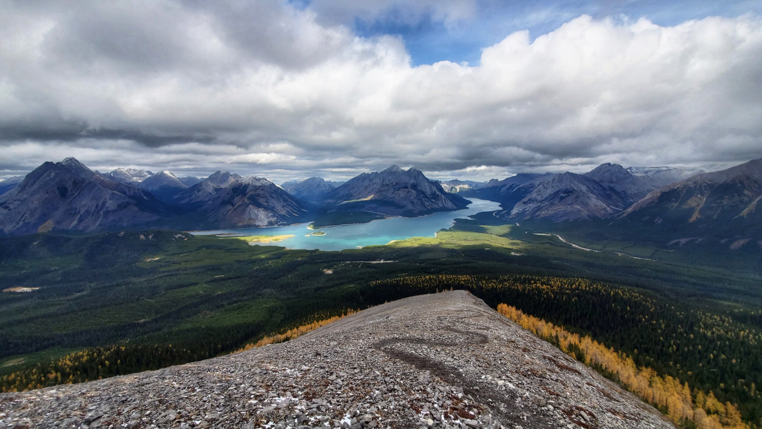
Beautiful boondocking spot along Abraham Lake
Bow Lake
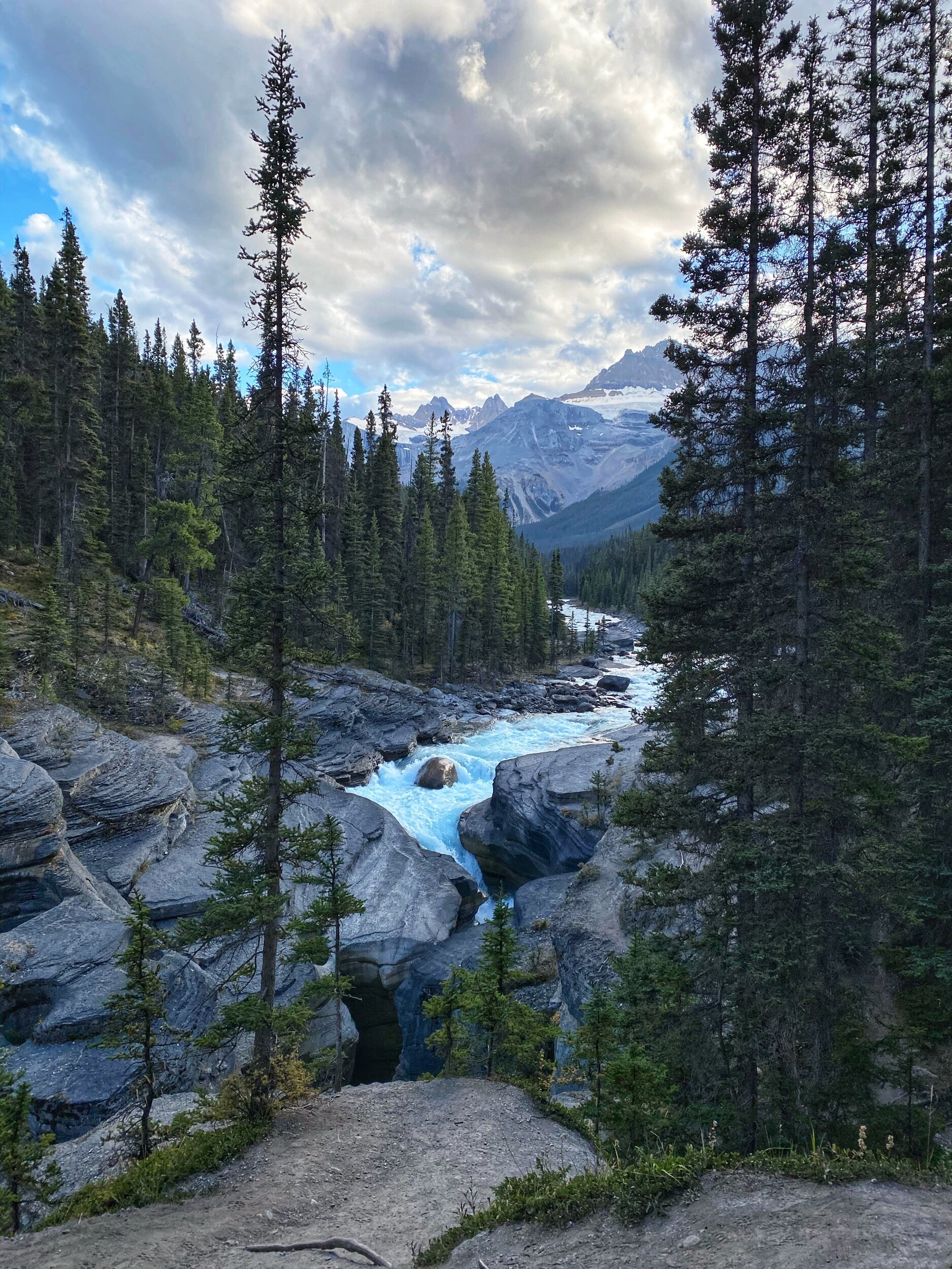
Mistaya Canyon
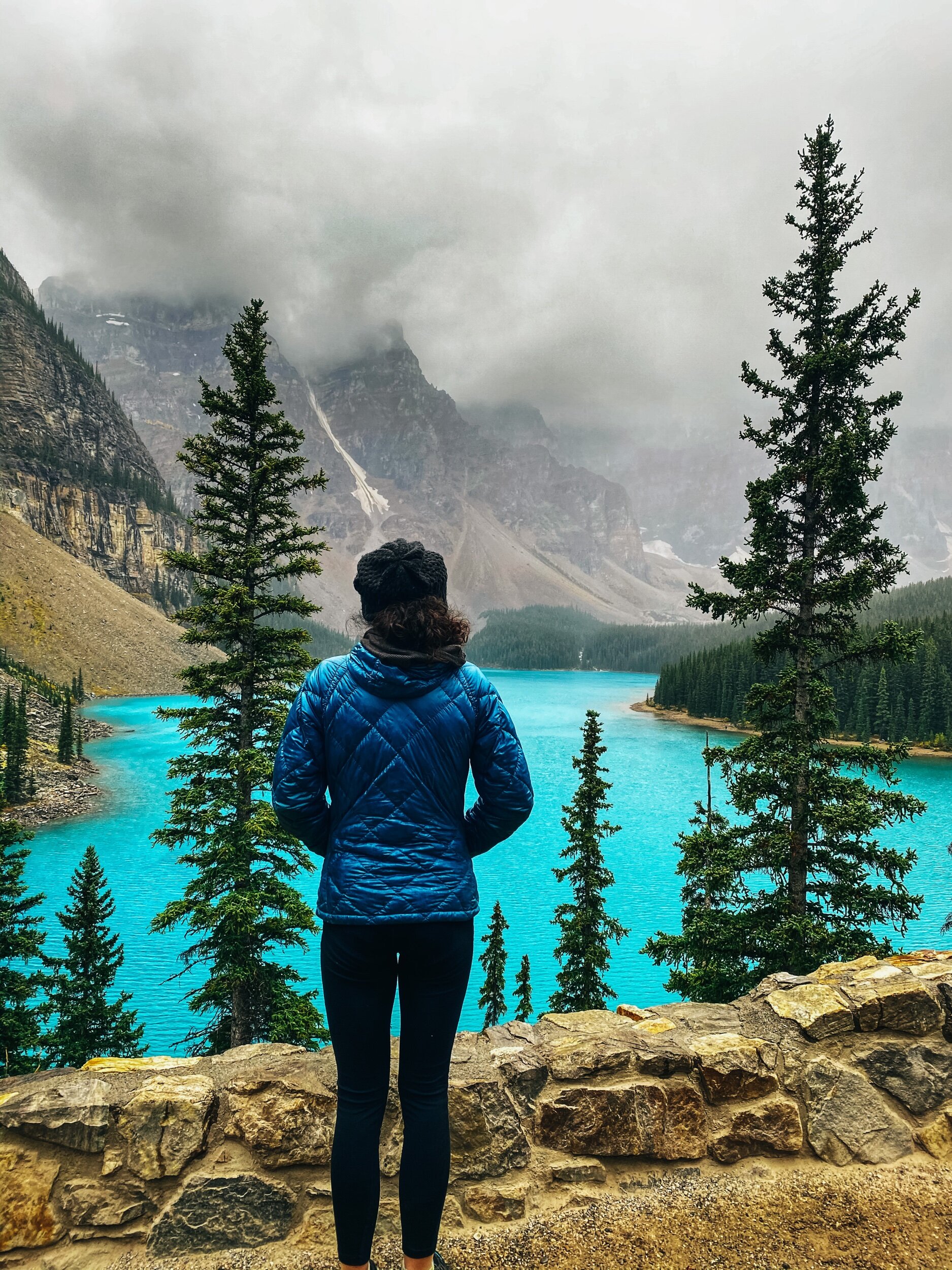
Moraine Lake
Lake Louise
Jura Canyon
Johnston Canyon
Johnston Canyon Lower Falls
Tent Ridge
Snow on Tent ridge
Snow on Tent ridge
On the Moonraker Trails in Golden, BC
Cedar Lake Rec site, Golden, BC
Radium Hot Springs
Full disclaimer: I was never wowed by the Rockies. We had camped in Banff and Jasper 18 years ago on our way to the Yukon with our old Westfalia and driven through the park a few times since then, but it was always so busy that I never could truly get a feel this beautiful place. This time, I really did. And I understand why people come from all over the world to see this place.
With the fall colors in full force and very few tourists because of the pandemic, it was the chance of a lifetime. So we drove from Squamish and back for a short 3 week road trip before settling down for the winter. And we’re so glad we did!
There are so many hikes to do in the area that I won’t even try to give you an exhaustive list, but I will gladly share our favorite. Some are short, some are long and involved, I’ll let you do your research depending on what you want. Interestingly enough, most hikes allow dogs on leash!
In the Spray Lake area, our favorite was Tent Ridge (a horseshoe loop on a stunning ridge, be warned that this is not a beginner hike, there is some exposure and some mandatory scrambling). A good shorter one south of Canmore is Little Lougheed (steep but offering rewarding view).
There are lots of hikes around Canmore; Ha-ling Peak is a popular one. We did West Wind last year and found it very rewarding.
In the Park, between Banff and Lake Louise, Stanley Glacier and Arnica Lake are both beautiful hikes, especially in the fall. While you are in the area, go check out Marble Canyon (a short 1,4 km hike).
Near Lake Louise, Paget Peak is beautiful and Iceline Trail looks like a fun challenge. Cirque Peak Trail is also on our list for next time.
By the way, if you have to beat the crowds to see either Lake Louise or Moraine Lake, pick Moraine! It is bluer and more beautiful. Go during the week (pick a day when the shuttles don’t run if that’s an option) and go after 4 pm. Or go super early. And since you got up that early, you might as well hike the Larch Valley Trail, especially in the fall when the larches are yellow!
On your way up toward Jasper, you can stop to stretch your leg and see beautiful Mistaya Canyon (1 km). Keep going North onto the Icefields Parkway and stop to hike Parker Ridge and Wilcox Ridge (so gorgeous in the fall!).
Also know that it is usually possible to camp in the Columbia Icefields parking lot for $15 AND to have cell service (a really good deal in that area). However, it was closed this year because of COVID. I won’t publicly share our all our camping spots, but will gladly share them with you if you write to me personally and are planning to go. If you are willing to drive a bit, there are tons of beautiful camping spots along Abraham Lake (but there is only cell signal at this spot toward the end of the lake, at the trailhead for Allstones Lake Trail, toward the town of Nordegg).
On our way back, we spent two nights in Golden at the beautiful Cedar Lake Rec site right on the Moonraker mountain bike trails. I highly recommend it!
From there, if you are heading toward Revelstoke to mountain bike, you can stop and hike the Hermit Trail.
On our way down toward Rossland, we stopped in Radium for a quick evening soak in the Hot Springs and spent the night at Redstreak campground, 6 km away.
P.S. You will notice that I didn’t mention Johnston Canyon in my post. (but posted pictures of it). It is one of the most popular hikes in Banff and we were lucky that the road that leads to the trailhead was closed this time around because of COVID to limit the amount of people, so we biked 6 km in to get to the trailhead. Even with that caveat, we found the hike to be quite busy, so I cannot imagine how crazy it must be when the road is open!


