Mount Baker Wilderness, Washington


For years, we’ve looked at Mount Baker’s peak from Vancouver and thought: one day, we’ll make it there. I’m not sure why it took us so long since it’s not even an hour and a half from the border, but we sure are glad we finally did!

We had no idea that Mt. Baker is an active glacier covered volcano (with thirteen glaciers!). In 1975, steam emissions and fumarolic activity reminded the locals that this beautiful mountain could change their lives forever.

Picture Lake at sunrise with Mount Shuksan

There is no camping near the trailheads and signal is spotty at best (download the maps of the trails you are planning to hike - there are many side trails everywhere). There is some boondocking on Forest Service roads or camping at Silver Fir (no signal and popular - reserve ahead). Douglas Fir Campground is a bit far but is a beautiful spot worth checking (no signal and popular as well - reserve ahead).

We found a great boondocking spots on a Forest Service road nearby.

Another great boondocking spot up a rocky road

Getting an early start is key to beat the weekend crowd.

If you’re planning to go on the weekend, make sure to get to the trailhead early (like 8 am early). Buy the Northwest Forest pass online and print it at home (must be printed within 2 days of purchase - you can buy it at the Visitor Center in Glacier but that’s 40 min away) and on the premises if and when the Visitor Center is open (but it sounds unreliable).

Beautiful Mount Baker from Chain Lakes Trail

Instead of doing the whole Chain Lakes Loop, we took Chain Lakes Trail all the way to Hayes Lake and back to Artist Ridge and we checked out Ptarmigan Ridge for about 500 meters until it starts going down. It is one of the most rewarding hikes near Vancouver in terms of view vs effort.

Earlier in the season, the trail is full of wildflowers. At this time of year, you get blueberries and huckleberries. In a month, you will likely get snow.

Iceberg Lake

Some people do Chain Lakes Loop as a day hike and some spend the night at Mazama Lake or Hayes Lake (camping near Iceberg Lake is not permitted). These two backcountry campgrounds are First Come First Serve, so getting an early start is advisable. It can get pretty crowded on the weekend (no platforms). You don’t need an extra permit (just the same Northwest Pass to park your vehicle at the trailhead).

Mazama Lake

Hikes worth checking:
-Chain Lakes Loop
-Lake Ann
-Ptarmigan Ridge Trail
-Yellow Aster Butte
-Table Mountain

The total cost for this awesome weekend (other than the gas to get there): $5 (that’s the price of the Northwest Forest pass for a day - $30 for a year).
That’s a steal!


Overnight hike to Watersprite Lake, Squamish, BC


Watersprite Lake near Squamish is a crystal clear, turquoise lake framed by dramatic peaks and it is one of the most awe-inspiring hikes around. It was a hidden gem for years. Unknown to most and tucked away down a long, bumpy forest service road. But the word is out and it’s ‘hidden gem’ status has changed.

Whilst the hike is long, it’s a fairly gentle incline as BC hikes go and only the last portion has any serious climbing in terms of elevation. About 6 km in, you will come to a rock slide. This is the beginning of the more demanding section of the trail. The route is visible and there is flagging to keep you on track. 

Then, you enter a forested section and get to a boulder field. The final ascent is slow and steep, but you’re almost there and the view that awaits you will reward your effort!

While this last stretch is the most difficult hiking, the good news is you are nearly at Watersprite Lake. If you are staying overnight, you need to cross another boulder field along the lake to get to the other side where the tent platforms are located. 

As of summer 2022, Watersprite Lake area and the surrounding peaks are now a designated Provincial Recreation Site and you will need a camping reservation for tent camping (different to reserving the hut). This will cost $20. You can reserve here.

There are 10 platforms and 10 tent spots (we recommend platform 1 or 2 if one is taken). There are bear caches and a composting toilet on site. There is a very clear stream that runs behind camp to get water from (and a few streams along the trail too).

The only drawback to this hike is that it requires a 4×4 or AWD vehicle with good clearance to reach the trailhead. Please note, the road gets significantly worse for the final stretch to the trailhead and it is getting worse every year (not fixing it probably also helps weed out people).

There is a cabin at the lake which was built by BCMC. The cabin can be rented all-year round (the only option in the winter since the platforms are under many feet of snow) for 300$ per night (one party of 8 people max).

There are a few bridge crossing involved and the trail is very well-built and marked.

Make sure to reserve your tent platform ahead of time. This will cost $20. You can reserve here. We recommend platform 1 or 2.

Because the trail is open, make sure to bring plenty of water and sun protection in summer.


Hiking to International Falls, between BC and Alaska


The International Falls hike starts near the White Pass Summit and is most often in the clouds. We lucked out on a rare bluebird day! The trail starts on the Canadian side of the border and crosses into Alaska, hence its name.

It’s a beautiful hike especially on a sunny day. Be warned that there is a pretty steep descent (with rope assist) at the beginning and a few creek crossing (hiking poles were useful, an extra pair of shoes/socks might be a good idea if the water level is high). You can find all the driving direction and hike info here.

The rest of the trail is an easy gradual climb along the falls and then you can hike as far as you want once you hit the alpine plateau. It’s so beautiful, you just want to keep going, but be mindful that you need to retrace your steps back to the car!

Note: Coming from Whitehorse, you need to cross the Canadian customs (don’t forget your passport or ID), but since the hike starts before the US customs, you don’t need to fill in the ArriveCan documents.


Hiking Ruby Mountain and Monarch Trail, Atlin, BC


Atlin, BC, is a small gold rush town that is only accessible through the Yukon. It’s a 2-hour drive from Whitehorse. 

Atlin Lake and the surrounding mountains are stunning and the historic gold rush village complete its charm. I’m not sure why we waited 15 years to come back here, but we are are glad we came on this perfect weekend.

We did two different hikes. The first one (and our favourite) was Ruby Mountain in the Atlin Volcanic Field. You have to drive about 30 min from town to get to the trailhead. If you have a high clearance 4x4 vehicle, you can even drive the first part that is on a mining road (all the info for directions and route finding are well explained here. Make sure to screenshot everything since there is no cell signal in Atlin). The hike starts already in the alpine and there are very few trail markers, so you’ll find having this info on hand useful as you ascend. It’s a short hike to a stunning 360 view with mountains all around as far as the eye can see. We were alone the whole time and even saw Dall sheep! That hike is easily in our top 5.

The trail starts here if you can drive up the mining road (high clearance 4 x 4 needed)

The Summit

The second day, we did the classic Monarch Trail. The trailhead is only 1 km from the Pine Creek campground. As soon as you start climbing, you get open views of the Atlin Lake and surrounding peaks. You can decide to turn around after about 1.5 km at the second bench before the climb in the forest begins or decide to plow through that steep section without view to get into the alpine for the last 700 meters. The view is beautiful but not as different as you go up. You’ll find the driving directions and trail info here (please note that the name of the road where the trailhead is located is Warm Bay Road NOT Warm Spring Road as indicated).

The camping options are pretty limited, especially with a big bus, but we lucked out on one of of the few sites that are big enough at Pine Creek campground.

There are beautiful walk-in sites in the lower section of the Pine Creek campground.

Note that there is no cell signal anywhere in town. There are limited groceries, but you can get some good BC beer at the Trading Post.

For those who do not follow us on Instagram, Stout passed away on August 2nd. He had a Valley Fever relapsed and even with the medication, his body gave up the fight and he died peacefully in his sleep in the bus. He was six years old. We miss him dearly every day.


Fifty shades of blue

 
Mathilde hiking along Water Sprite Lake

Mathilde hiking along Water Sprite Lake

Rohr Lake

Rohr Lake

IMG_7558.jpeg
IMG_7543.jpeg
IMG_7549.jpeg
Cheakamus Lake

Cheakamus Lake

Adjustments.jpeg
Cheakamus River

Cheakamus River

Blogging has become harder over the last few years. Sharing the name and location of the beautiful places we visit attracts more people to some already overused trails and boondocking spots or means we are revealing a friend’s lesser known spot… sharing my life and heart often infringes on my teens’ personal life and their stories are not mine to share anymore. Beautiful images are shared on Instagram as soon as they are captured and spur of the moments thought and bits and pieces are shared in stories. So what is left for the blog?

Maybe the blog can be a good place to step back and reflect every few months? I like that idea. 

The blog will be a more global portrait of our life, a reflection.

As you might know, we have spent the months of July and August in a house in Squamish while our bus was at our friends’ shop, getting a well-deserved facelift (esthetic and mechanical, but mostly incredibly practical - check the Our bus and Westy section for the photos!). It’s been interesting - and honestly quite easy - to fall back into a brick-and-mortar lifestyle, but Squamish is sooo awesome, it’s really easy to love, especially when you can escape every weekend (or after work!) to hike or bike to some of these incredible locations. We had a beautiful crystal clear river a 5 minute walk from our place (to rock-retrieving Stout’s greatest pleasure) and we could watch rock climbers on the big walls behind our house while sitting in our yard! We also witnessed many search and rescue helicopters coming back from there every weekend…. I understood a bit better how easy it is to underestimate some of the hikes/bikes/climbs in this area and become the next person to need a rescue. It seems to me that most everything here is “hard”. An “easy” hike requires you to climb (and down climb) a boulder field. It seems like everybody and their neighbours, their doctors and their mechanics is an athlete here. Which is great, but also a bit intimidating for the not-super-into-fitness-nature-lover that I am. I huffed and puffed my way up steep climbs and white knuckled my descent through giant slippery rocks, getting back to the Westy bruised and tired, but very proud and recharged. And I’ll keep at it because that’s where I love to be, even if it means being slow and stopping as often as a toddler through the rough parts. I’ve waited for my girls enough years that it’s their turn now! And they carry the lunch too! Onward and upward. Life with teens is the best, hormone galore, kitchen explosions and hair-clogged drains included (just kidding, that’s sooo gross).


Hike to West Wind Pass and the Canmore Canada Cup

 
Grassi Lake, Canmore

Grassi Lake, Canmore

Spray Lake

Spray Lake

The view after 5 minutes on the West Wind Trail!

The view after 5 minutes on the West Wind Trail!

Getting to the Pass.

Getting to the Pass.

Wow!

Wow!

A well deserved break to enjoy the view.

A well deserved break to enjoy the view.

2,5 km to that awesome view? Hell, yeah!

2,5 km to that awesome view? Hell, yeah!

We get spoiled so much in BC and in the Yukon! On this hike, there are a few trails options and not must signage so it can get confusing. Stick to the trails on the right and you’ll get there. Consider taking poles if you struggle with steep descent. It’s a pretty tame hike by Rockies standard (it’s considered moderate), but the climbing is pretty steep and constant, so just plan accordingly if you need breaks. We got to the pass in one hour and back in 30 minutes. After taking a break at the pass and admiring the view, you can keep hiking all the way up to the Wind Tower. 

Mathilde at the start of her race.

Mathilde at the start of her race.

_CFO0720_DxO.jpg
Math Canmore.jpg
Mathilde finishing.

Mathilde finishing.

Mara at the start line

Mara at the start line

Mara at the start

Mara at the start

Aïsha getting down the aptly named Organ Donor trail.

Aïsha getting down the aptly named Organ Donor trail.

Aïsha getting some air!

Aïsha getting some air!

_CFO0815_DxO.jpg

Well, Canmore was not what I was hoping for. This was for sure not my weekend. I crashed on Thursday during my preride and then crashed again on race morning, bending my front wheel and derailleur 2 hours before my start. We pretty much took a bunch of different parts from other bikes and put them on my bike. When I was finally able to do my race, I didn’t even get 10 minutes into the race and got a flat on my rear wheel. There was lots of experience and learning throughout these few days spent in Canmore, but I’m wishing to get all problems fixed in time for the Horseshoe Canada Cup. What happened to me today was simply bad luck, crashing and flatting are things that are part of cycling and it is for sure not the last time that this will happen to me. Awesome job to everyone who raced today and thank you very much to all the people for helping and supporting me throughout this rough couple of days. What a fun event though, I wish to come back next year and have an even better time riding these amazing trails!

Jura Creek.jpg

Even after 5 years on the road, we sometimes forget how fragile the balance of our daily life is. Of course, sometimes we just need to get somewhere and drive a lot, but that also means making sure to get outside and be active for an hour or so a day at least. We are pretty good about keeping our regular (healthy) meals schedules and to keeping a work and school morning routine. However, since we left the Yukon, we haven’t slept in a campsite once and parking lot life does take its toll on all of us. Yes, our bus is big, but throw 5 adult-size person + a giant size dog and it feels very small. Especially after 2 weeks. 

Since there isn’t much external framework when you live on the road, you have to constantly check in with yourself to figure out why you feel the way you feel. It’s one of the reasons people say traveling is a fast track to self-improvement. And a fast track to divorce!!

So, yes, even after all this time, we’re still learning how much of a balancing act this is. After two days in nature, I feel like myself again, ready to cross the Prairies and hit the hot humid and buggy weather of Ontario. Just kidding, I’m so not ready for that. But hey, soon we’ll be in Quebec and spending time with our loved ones and I sure am ready for that!!

Finding free QUIET camping spots in Whistler and Canmore is not an easy task (and paid campgrounds are often full or very expensive). Even the usual trail head spots often have NO Overnight camping signs. We lucked out that our friends found a new trailhead that didn’t have a sign up yet, so we could spend two quiet nights here after the chaos of the Visitor Center (there are huge signs saying NO overnight camping there, but they tolerate it if you leave by 8 am).


What to do and where to eat in and around Victoria, BC

 
The Parliament.

The Parliament.

The Royal BC Museum.

The Royal BC Museum.

The Royal BC Museum has many life size exhibits. Here: a salmon cannery and an authentic village.

The Royal BC Museum has many life size exhibits. Here: a salmon cannery and an authentic village.

Miniature World.

Miniature World.

Miniature World.

Miniature World.

Munro’s Books and Habit coffee shop.

Munro’s Books and Habit coffee shop.

Agrius and Fol Épi.

Agrius and Fol Épi.

The best fish and chips are at Blue Fish Red Fish (well-worth the line!).

The best fish and chips are at Blue Fish Red Fish (well-worth the line!).

10 acres.jpg
Jordan River Regional Park campground is only $15 June-Oct or $10 Nov-May and right on the ocean. There is no Canadian cell service (no Bell), but 3 bars 4G LTE Verizon on our American phone, however it fluctuated a bit. I posted my full review on @…

Jordan River Regional Park campground is only $15 June-Oct or $10 Nov-May and right on the ocean. There is no Canadian cell service (no Bell), but 3 bars 4G LTE Verizon on our American phone, however it fluctuated a bit. I posted my full review on @campendium
It's a bit out of the way but the perfect place to be far from everything and to go hiking or kayaking.

Juan De Fuca Trail

Juan De Fuca Trail

Our birthday hike tradition continues with this beautiful hike on the Juan De Fuca Trail that leads to an isolated beach for my 41st birthday.

Our birthday hike tradition continues with this beautiful hike on the Juan De Fuca Trail that leads to an isolated beach for my 41st birthday.

Mystic Beach.

Mystic Beach.

Discovering Victoria has been so much fun thanks to all the great recommendations many of you gave me. I'm so impressed by how green most of the restaurants and coffee shops are! No straws, all compostable containers and utensils, compost and recycling on the premises, locally sourced ingredients. 

We really fell in love hard with this city and the whole area. If we had to pick a place to settle down in Canada, it would definitely be our first choice… if lodging was affordable (which it isn’t). I can officially announce that we have decided to stay on the road at least for another year (as long as the bus doesn’t die on us…). We had said that we would not make a decision until we come to Vancouver island. Our time here has been incredible and the girls got to rub shoulders (and race with) very strong and pro riders. It has allowed them to see how our lifestyle gives them the flexibility (in terms of school schedule AND moving around) to keep progressing in the racing world - something all 3 want to do. After talking with many kids who go to school and race, our daughter who was curious about going to school changed her mind. We have a pretty exciting summer and fall ahead of us, and I can’t believe I will finally get to visit the Magdalen Island, where my dad’s side of the family comes from!

But for now, we are headed North to our beautiful Yukon!


Great Sand Dunes National Park and Preserve

Can you spot the sand dunes at the base of the Sangre de Cristo Mountains?

Can you spot the sand dunes at the base of the Sangre de Cristo Mountains?

_CFO6412_DxO.jpg
_CFO6416_DxO.jpg
_CFO6420_DxO.jpg
_CFO6429_DxO.jpg
_CFO6428_DxO.jpg

These huge dunes look totally out of place at the edge of the snow-covered Rocky Mountains. Located in south central Colorado (about 2.5 hours from Colorado Springs and nearly four hours from Denver, they lie at the foot of the Sangre de Cristo Mountains. They are the tallest sand dunes in North America.

There are no official trails into the dunes and because of the soft, ever-shifting sand, possibilities for exploration are limitless. It is permitted to walk anywhere, and one popular target is the top of the tallest dune, which conveniently is only half a mile from the edge. Still, the journey takes up to one hour and it is often a case of one step up, half a step down. It is easier to walk along sand ridges, rather than up the side of the dunes. The surface temperature of the sand can rise to over 140 F in the summer, much too hot for barefoot walking, and very hard on your dog’s paws (bring booties). Note that this is one of the rare National Parks where dogs are allowed on hiking trails. It is written everywhere that you need to keep your dog ON LEASH. I know the dunes feel like a sandbox of epic proportions, but please respect that rule so we can keep coming here with our pups (most people had their dogs off leash…).

It is often windy on the dunes (it was when we were there) and it was not a pleasant experience. Wear long pants and non-mesh shoes (or walk barefoot if the sand is cool enough), a windbreaker and buff and tight-fitting hat, as well as sunglasses if you plan to hike the dunes on a windy day. It will make your journey much more fun.


You can also rent sand board or sand sleds to play on the dunes just outside the park (regular sleds or snowboards don’t work well on dry sand). Another amazing feature of the Great Sand Dunes is Medano Creek - a small stream fed by melting snow that is only about ten miles long and flows most strongly during spring and early summer. It starts in the Sangre de Cristo mountains, runs along the east edge of the dunes and disappears below ground in the valley.


It is also a great area for stargazing and there are often ranger-led astronomy programs in the park. A really unique experience would be to camp overnight in the dunes (when weather is calm and clear to avoid blowing sand or dangerous thunderstorms with lightning). You can pitch your tent anywhere in the dune field that lies outside the day-use area. You'll have a minimum hike of 1.5 miles over the dunes, but will experience a unique overnight setting. Don’t forget that hauling your gear up slippery sand dunes is quite the workout.

There is a limit of 6 people per party, and limit of 20 parties in the dune field per night; permits are first-come, first-served (gas stoves only; no campfires). Dogs are not permitted in the dunes backcountry.


Though not inside Great Sand Dunes National Park & Preserve, Zapata Falls is a terrific little hike (0.8 miles) during a visit to the area and a fun place to cool off from the hot sun in the summer since you have to walk in the water to get there.


There are a few options for camping in the area. The Piñon Flats Campground is run by the National Park Service, with 44 sites that are first-come, first-served and 44 that visitors can reserve in advance.

For those traveling in 4WD vehicles, there are 21 campsites along Medano Pass Road within the park that are free and available on a first-come, first-served basis.

Outside the park, there is the San Luis Wilderness area, which was a state park until last year, where you can camp FOR FREE WITH 30/50 AMP power, sheltered picnic tables and fire ring in a gorgeous setting. Too good to be true? That’s what we thought, but we had a hard time leaving.


A hike in Rocky Mountain National Park

Nymph Lake

Nymph Lake

_CFO6337_DxO.jpg
Emerald Lake Trail

Emerald Lake Trail

_CFO6351_DxO.jpg
_CFO6381_DxO.jpg
Emerald Lake

Emerald Lake

When we arrived at the trailhead, it was cold and rainy. Aisha grumpily got out while Mara pranced across the parking lot, oooing at the gorgeous yellow aspens. Mathilde had stayed behind with our friends and their baby. The air was thin and fresh at 9,500 feet, and it felt so good to be surrounded by tall mountains! I wanted everybody to be happy and have a good time, but it seemed like someone just needed to complain about something and I had a really hard time finding empathy… This was Rocky Mountain National Park. On a Monday. Girl!!!!

But after a few miles, nature worked its magic, the weather cleared up and we all found our groove. I'm so glad my man reminded me to just give her space, not question her or try to fix her. Just let her be.

It doesn't have to be complicated.

If only I could remember that next time (or like tomorrow…).

I'm so thankful for this stable calm man in that sea of hormones!

As you probably have noticed, I haven’t been in this space much. Now that we are back on the road, I’ll post more about the destinations we visit. I’m posting regularly on Instagram and Facebook. Here’s something I posted about there a week ago that I’ve decided to repost here:

This year, the girls are homeschooling completely online. It’s new for all of us and it was quite the ordeal to get everything up and running. We really wanted them to do the bulk of their classes in French, so they have a patchwork of classes from different provinces, but it is finally set up. Their Humanities class (a cool integrated Yukon combo of English 9 and Social Sciences 9 with lots of content on First Nations) is a virtual class where they have to be online for 1 hour, 3 times a week, with the teacher and other students. The teacher was a traveling homeschooling dad himself and mountain biked quite a bit with his daughters. As you can imagine, they quickly clicked with him. The French class (from BC) is really interesting (BC has adopted a new curriculum last year and it is great!). Their science (from Alberta) and math (from Ontario) classes are more traditional.


I’ve created a Google calendar for each girl in which their classes are well laid-out with deadlines for assignment and times of day (with alarms). On top of their core classes, they are doing a great Art 2D/3D with the Vancouver animation school and two afternoon a week, I have asked them to pick a personal project they wanted to work on. For now, Mara is writing a book, Mathilde is working on upcycled bike parts jewelry and Aïsha is sewing a storage pouch. Their bike training schedule is in the calendar too.


We also invite them to spend some time reading the news each day (American - in English,  and Canadian - in French). Our goal for this year is to feed their growing minds and have discussions with them on different topics. We watch documentaries and movies on varied topics with them at night to broaden their horizons. We are very aware that these are some of the most formative years where their brains create tons of connexion. It’s the best time of life for learning!


They have daily tasks that rotate monthly and are responsible for 1 dinner a week. It might seem pretty regimented, but it is quite interesting to see them relax into that schedule. After years of relaxed homeschooling/unschooling, they have demanded a more structured learning process in the last few years and we have created it for them.


Some people will say that our girls are sheltered; they would be right in a sense. We have sheltered them from the mainstream, but not from real life. We have always believed in offering them a rich environment in which they could explore the world, themselves and their interests. And I think we are succeeding in that. Yeah, us.


Mary Jane Canyon and some Moab updates

Driving on Ranch rd/BLM 98 to get to Mary Jane Canyon. What a view!

Driving on Ranch rd/BLM 98 to get to Mary Jane Canyon. What a view!

After about 5 minutes of walking on the trail, you have to get your feet wet!

After about 5 minutes of walking on the trail, you have to get your feet wet!

And it just gets better.

And it just gets better.

The sandstone is so red it's almost purple and when you walk in the water, it looks like there is blood around your feet.

The sandstone is so red it's almost purple and when you walk in the water, it looks like there is blood around your feet.

_CFO4563_DxO.jpg
Finally found a quiet camping spot about 25 minutes out of Moab. With a gorgeous view of the Fiery Furnace.

Finally found a quiet camping spot about 25 minutes out of Moab. With a gorgeous view of the Fiery Furnace.

Silence. Finally. After days of constant OHV noise.

Silence. Finally. After days of constant OHV noise.

If you type Moab on the Home page search bar of the blog, you'll see a ridiculous number of posts pop up. We just love Moab and have been coming here every year for the last 5 years. The more helpful post for bike trails and general info that I wrote is this one and this one contains more photos or trails (all the info is still good, except that the coffee at Bike Fiend was NOT good this year, stick to Moab Coffee Roasters and the good cheap laudromat by the Village Market and Chili Pepper Bike shop is not a Domino Pizza and you are left with very few options for laundry... We ended up going to Moab Laundry (that we call the Gringo Laundromat, because it's pack full with travelers and it's ridiculously cheap and the driers take forever to dry... buuut, it's right by the City Market AND Gearhead (where you can fill your jugs with delicious spring water for free), so we can kill 3 birds with one stone.

Coming here every year for a while also means that we have seen the effects of more and more people camping on the public lands and that every year, we camp a little further away... Last year, we stayed on Dalton Wells Road since Willow Springs Road was packed and this year, after spending a few very noisy days on Dalton Wells with people riding and racing their OHV all day long in front of our bus, we moved further out of town.

There has been lots of discussions on Instagram lately among the vanlifers about the repercussions of sharing the exact coordinates of these free campsites (and other beautiful locations). Many of us feel directly responsible for drawing crowds there (and some of us truly are... I know I am for at least a few spots I first reviewed on Campendium). It’s a complex issue and many of us stand on the fence here. We’re not a select little group who should be the only ones to have access to this information. HOWEVER, as Kerri McHale (@asolojourner) says: “There’s surely enough info already out there to get anyone’s feet wet; even if every single one of us stopped geotagging today. (…) This land is open to everyone, and everyone’s free to explore it. We’re not putting up “no trespassing” signs; were just not putting up neon arrows to the road here”.

Of course, I will keep sharing these special spots with people I know. And I will keep sharing them here on the blog. I receive lots of messages from friends and acquaintances (and readers!) planning trips and never refuse them a piece of advice. However, I know these people and know they will not trash them. These places are our second homes, our refuges, as Kerri McHale says. She continues: It’s not good for everyone to crowd onto one pinpoint on a map—it changes the land, even when people *aren’t* trashing it. I’ve talked to many locals lately, who see places they’ve come back to for decades overrun and trashed. I once thought, “I don’t have that many followers…how could I really be affecting this?” But that’s kind of like saying, “I’ll just drop this one coke can on the ground. No one comes around here anyway,” isn’t it?

So if you have read this far, let me share with you here one of Moab's best kept secret: Mary Jane Canyon. When the crowds are invading Arches and Canyonlands National Parks (and Corona Arch trail too now...), there are a few hidden gems that you will likely only have to share with a few other hikers if you are willing to drive a few extra miles (or 20). Last year, I told you about the Fisher Towers (still our favorite hike in the area!) and this year, we discovered Mary Jane Canyon. Unfortunately, we didn't get to go all the way to the end where the true gem is: a beautiful 30 feet high split waterfall INSIDE the slot canyon because we ran out of light. It is a long hike (9 miles/14 km round trip) mostly IN the water, so plan accordingly. It is however perfect on a hot day when the crowds are all at Grandstaff Canyon (aka Morning Glory, aka Negro Bill Canyon) to get their feet wet. Some people have reported being able to keep their feet dry by rock hopping, but it'll be a lot of work (and you'll likely slip and get wet or injure yourself). You CAN be in the water 90% of the time, but you will likely have to be walking in it at least 50% if you follow the trail that meanders in and out of the creek. We don't have Keens, so we simply used our regular sneakers with wool hiking socks and it was perfect. JF did it in his Chaco sandals and said it was not ideal because the sole became abrasive under his feet after a while. If you have weak ankles, brink hiking poles. The water was pretty shallow when we did it at the beginning of April (mostly ankle deep, some spots mid-calf) and cold but not freezing. We called the BLM field office in Moab beforehand since it had rained a few days prior, but they said they do not monitor the water level there, so I guess it is not as likely to get flash floods there. The water level does vary during the year and it is usually dry at the end of the summer.

Once you reach the trail head, make sure you take the right trail. The more obvious one is for Professor/Sylvester Creek, which is NOT where you are going. The trail to Mary Jane Canyon is just across the parking lot by a no camping sign. The best info I found about it is on this blog (with photos of the trail head). The canyon walls get higher as you hike further into the canyon, and eventually will reach upwards of 100 ft. I also read that there are several side canyons that allow for exploring tighter slot canyons.


Page, Lake Powell and the Wahweap Hoodos

We camped two nights at Lone Rock Beach by Lake Powell. It a beautiful camping spot, but it can get pretty windy. There is a beautiful beach, but it was way to cold to swim in March. We saw lots of people kayaking on the lake and exploring a cave in…

We camped two nights at Lone Rock Beach by Lake Powell. It a beautiful camping spot, but it can get pretty windy. There is a beautiful beach, but it was way to cold to swim in March. We saw lots of people kayaking on the lake and exploring a cave inside Lone Rock.

The beginning of the Wahweap Hoodoos hike. 

The beginning of the Wahweap Hoodoos hike. 

The rickety fence I mention in the directions below.

The rickety fence I mention in the directions below.

The fact that it a longish hike (14 km/8-9 miles) and that most of the hike is in a wash and has nothing exciting to offer (at least by Utah standards) makes it much less trafficked that the rest of the sights in the area. . A great plus: dogs …

The fact that it a longish hike (14 km/8-9 miles) and that most of the hike is in a wash and has nothing exciting to offer (at least by Utah standards) makes it much less trafficked that the rest of the sights in the area. . A great plus: dogs are welcomed and can be off-leash!

Here we took a wrong animal path that led us close to the hoodoos, but we had to turn around because we could not keep going. Stick to the wash until you see the brush (description below)

Here we took a wrong animal path that led us close to the hoodoos, but we had to turn around because we could not keep going. Stick to the wash until you see the brush (description below)

Exploring the first set of hoodoos.

Exploring the first set of hoodoos.

_CFO3772_DxO.jpg
ww.jpg
_CFO3795_DxO.jpg
The Towers of Silence, the most stunning formatio. and truly a wonder of the geological world.

The Towers of Silence, the most stunning formatio. and truly a wonder of the geological world.

The soft entrada sandstone is pure white in color and forms hoodoos that are often topped either by dark sandstone blocks or unusual boulders of purple conglomerate, composed of small pebbles bonded together. 

The soft entrada sandstone is pure white in color and forms hoodoos that are often topped either by dark sandstone blocks or unusual boulders of purple conglomerate, composed of small pebbles bonded together. 

Left: eroded slope. Right: fluted bedrock.

Left: eroded slope. Right: fluted bedrock.

_CFO3813_DxO.jpg
There are also tons of beautiful rocks in the wash, so that kept us busy!

There are also tons of beautiful rocks in the wash, so that kept us busy!

Page is not known for its mountain biking, indeed there is only one 16 km loop around town. But we had seen pictures from that trail and wanted to check it out. It's like if Sedona trails and Moab trails had a baby trail along the Colorado River. Th…

Page is not known for its mountain biking, indeed there is only one 16 km loop around town. But we had seen pictures from that trail and wanted to check it out. It's like if Sedona trails and Moab trails had a baby trail along the Colorado River. The views are jaw-dropping and the trail is fun and flowy, with some exposure to keep it exciting. 

page2.jpg
While the Antelope Canyon parking lot was packed and there was a line of people looking like ants to get to Horseshoe Bend, we only saw one guy jogging the Rimview trail with his dogs and only 5 parties on the hike to the Wahweep hoodoos ON A SATURD…

While the Antelope Canyon parking lot was packed and there was a line of people looking like ants to get to Horseshoe Bend, we only saw one guy jogging the Rimview trail with his dogs and only 5 parties on the hike to the Wahweep hoodoos ON A SATURDAY! Definitely, two of Page area best kept secrets!

There used to be two ways to reach the Wahweap Hoodoos. Now the only way is to hike 9.2-miles roundtrip from Big Water, Utah, which is located about 20 min from Page, AZ (the trailhead is marked on Google Map as Wahweap Hoodoos trailhead). It used to be possible to access them from the southern end of Cottonwood Canyon Road (located near Churchwells, Utah) for a mere 2-mile roundtrip trek, but the BLM closed it because people abused it. It says it is closed to vehicular traffic, but it might be accessible by bike, which would be a great way to shorten the approach to the hoodoos. Here is the info if you want to check it on bike (but it would be even better to check with the Big Water Visitor Center): The non-vehicular approach to the Wahweap Hoodoos is along an undesignated track, rough in places, that forks northeast 1.5 miles from the south end of Cottonwood Canyon Road, which joins US 89 between mileposts 17 and 18. This bends eastwards after a few miles, past several junctions and ends after 10.5 miles right beside Wahweap Creek, from where the hoodoos are a short walk south.

There is a 2 WD parking lot and a 4 WD parking lot 0.8 mile further after the sometimes muddy creekbed. When you arrive at the wash, look for a sign along a rickety fence that reads Wilderness Study Area. After 3 miles of hiking in Wahweap wash (a normally dry, hot and shadeless trek: be prepared with adequate water, sunscreen, and protective clothing), you see the first sets of hoodoos. Make sure to stay in the wash the whole time (sticking to hard mud patches to make your hike less strenuous) and not take the side animal trails or you will have to retrace your steps (even if they seem to lead closer to the hoodoos).

You will come to a big patch of high brush and see the hoodoos behind that. Just make your way through the brush. You have arrived to the first set of hoodoos. Make sure you keep going just around the corner to see the Towers of Silence, rising like white ghosts, which are the most stunning (look for the White Ghost on Google Map, make sure you have your phone with you to locate the formations, it was really helpful). GPS Coordinates for the Towers of Silence 37°09’45” 111°42’45”

We believe that big sections of the wash could be done on a fat bike or even on a mountain bike with wide tires, which would shorten that less interesting part. Of course, the wash structure will change according to the rain, so check before going! There are several very short slot canyon tributaries, on the east side (check topo map).


Prescott, AZ

Exploring the Granite Dells.

Exploring the Granite Dells.

_CFO1775_DxO.jpg
Willow Lake seen from the Granite Dells.

Willow Lake seen from the Granite Dells.

_CFO1782_DxO-2.jpg
_CFO1786_DxO.jpg
Riding the Sundog Trail. Photo by Jason Liske.

Riding the Sundog Trail. Photo by Jason Liske.

Photo by Jason Liske.

Photo by Jason Liske.

Photo by Jason Liske.

Photo by Jason Liske.

Photo by Jason Liske.

Photo by Jason Liske.

Watson Lake. Photo by Jason Liske.

Watson Lake. Photo by Jason Liske.

Our campsite at White Spar Campground and the trails nearby.

Our campsite at White Spar Campground and the trails nearby.

Cold Brew Negroni. Recipe on my Instagram account. So good!

Cold Brew Negroni. Recipe on my Instagram account. So good!

The weather was unusually warm in Prescott for this time of year, so that meant we could comfortably camp (0 degrees nights and nice warm days) and most of the bike trails were rideable. Our original plan was to go on a BLM camping spot on Thumb Butte Mountain, but there was snow and mud on the steep climb to get there, so we turned around and went to White Spar Campground. For $10/night, you get a big asphalted lot with a picnic table and fire rink and access to a bathroom. There is no water on site at this time of year, but it’s easy to go dump and fill at Affinity RV for free. AND there are lots of bike trails that start right from the campground (Twist and Shout, Apple Blossom, Goldwater Lake). We rode a lot during our stay here and checked out many different areas. The number of bike trails here is just incredible! I think the favorite was Badger Mountain and Sundog and we also liked the new trails at Spence Basin (Tunnel Vision), but there were many more that we liked. Prescott has over 250 miles of beautiful trails. The Trailfork app is the best app to use for this area, as well as the PMBA website for trail conditions.

On the other side of town, there are two reservoir lakes (Watson Lake and Willow Lake) surrounded by the Granite Dells, a landscape reminescent of the Alabama Hills (where you can ride some pretty technical trails), and completely different from the area where we were camped.


Sedona

Riding Adobe Jack and Ant Hill.

Riding Adobe Jack and Ant Hill.

Exploring the new bike park.

Exploring the new bike park.

Hiking up Cathedral Mountain with our friends.

Hiking up Cathedral Mountain with our friends.

Coming down Cathedral Mountain with our friends.

Coming down Cathedral Mountain with our friends.

We celebrated Halloween in Sedona. I was a tree (and JF a tree hugger) and the girls were a bat, a pirate and a jail escapee who had just robbed a bank.

We celebrated Halloween in Sedona. I was a tree (and JF a tree hugger) and the girls were a bat, a pirate and a jail escapee who had just robbed a bank.

Hike up and around Doe Mountain.

Hike up and around Doe Mountain.

Doe Mountain hike.

Doe Mountain hike.

Father-daughter ride on Highline.

Father-daughter ride on Highline.

Riding Slimshady with the demo Scott Bikes.

Riding Slimshady with the demo Scott Bikes.

Sitting at the Kachina Woman Vortex, near Boyton Canyon.

Sitting at the Kachina Woman Vortex, near Boyton Canyon.

We were in Sedona in the Spring and I wrote a post containing lots of information about biking and hiking trails already, so I won't rewrite that part here, but will add more about the new trails we discovered (and loved) this time. We explored the Adobe Jack sector with a family we had just met and really liked the trails there. The view from Teacup is amazing, but a good chunk of it is pretty technical. We were quite surprised by Jordan, a trail we hadn't heard much about, and it's beautiful slickrock sections. We really liked Javellina and Ant Hill also. 

I redid Aerie with the girls and it's just such a beautiful flowy trail, so is Adobe Jack (a great family trail!). JF and Mara went to ride Highline, Slimshady, Made in the Shade and Templeton. JF went to explore the Hogs by himself and report on how technical they were.

It was super fun to celebrate Halloween there too. We had no idea how it would be or which neighborhood we would visit to go trick or treating since the houses are all pretty far apart. We found out at the last minute that the big celebration was happening on Main Street where all the stores gave out candies and there were shows in the streets. There was a great zombie Thriller performance and the atmosphere was amazing. Tons of dressed up adults and kids alike. Definitely an Halloween that we will remember for a long time!

We hiked up Cathedral Mountain with our new friends (actually, the daddy and kids did, while the moms stayed down with the big dogs - it's not a place to bring your dog, way to sketchy).
We also hiked up and around Doe Mountain which was beautiful. That's also where we heard our first rattlesnake! It was surprisingly loud. Still very glad for the warning he gave us!

On our last day, we went to explore one of the vortexes too (the Kachina Woman) since it is one of the main Sedona attraction. I was kind of lukewarm about it. You know me, I don't like to go where the crowd goes... And well, many years ago, I got kicked out of an energy healing class because my skeptical energy was disruptive to the group (nobody told me to drink the cool-aid before registering). Anyways, I didn't think I would feel anything special at the Kachina Woman Vortex and went up there chuckling like a teenager among the serious vortex seekers, but I did feel something. That shut me up. Go life, keep surprising me, I love it!


The Grand Canyon or hiking across one of the Seven Wonders of the World for his 40th birthday

Hike to Ooh Aah Point with friends.

Hike to Ooh Aah Point with friends.

_CFO9301_DxO.jpg
_CFO9308_DxO.jpg
_CFO9312_DxO.jpg
_CFO9329_DxO.jpg
JF showing Antonio where the Rim-to-Rim-to-Rim will take him the next day.

JF showing Antonio where the Rim-to-Rim-to-Rim will take him the next day.

Looking down into the Canyon from Ooh Aah Point.

Looking down into the Canyon from Ooh Aah Point.

One of the many morbidly obese squirrel...

One of the many morbidly obese squirrel...

_CFO9330_DxO.jpg
_CFO9328_DxO.jpg
_CFO9294_DxO.jpg
It was pretty smoky in the canyon, which made it a bit more challenging to breathe.

It was pretty smoky in the canyon, which made it a bit more challenging to breathe.

Waiting for JF and Martin to emerge from the big hole after their incredible Rim-to-Rim-to-Rim feat.

Waiting for JF and Martin to emerge from the big hole after their incredible Rim-to-Rim-to-Rim feat.

Just a tiny part of the many switchbacks Martin and JF hiked on their 74 km long day.

Just a tiny part of the many switchbacks Martin and JF hiked on their 74 km long day.

The champions!

The champions!

More and more, Aisha and Mara sleep in the tent or the Westy so they have their little corner.

More and more, Aisha and Mara sleep in the tent or the Westy so they have their little corner.

Our beautiful campsite in the National Forest near the South Entrance of the Grand Canyon.

Our beautiful campsite in the National Forest near the South Entrance of the Grand Canyon.

Life at camp with the boys.

Life at camp with the boys.

We had visited the Grand Canyon 5 years ago with the girls and it was still one of the highlights of our first year on the road, mostly because of our memorable hike into the canyon in the dark to watch the sunrise from Ooh Aah Point

Last year, JF had decided that he wanted to run/hike the Rim-to-Rim-to-Rim for his 40th birthday, that is from the South Rim to the North Rim and back, a 74 km feat with a crazy elevation change of 3,368 m. It was quite a challenge! I was glad his cousin Martin was joining him. Our friends Antonio and Pascale (and the boys!) came all the way from Tucson to spend the weekend with us. It was really cool to see the boys reaction to seeing the Grand Canyon for the first time. We had a beautiful day of hiking with them to Ooh Aah Point and many beautiful discussions as usual.

On the Sunday, Martin and JF left camp at 4:30 am and had only told us that they estimated it would take them between 12 to 16 hours to complete their adventure. So, the girls and I arrived at the Canyon Rim as the sun was disappearing. Lots of people were still coming up from the Bright Angel Trail before darkness fell. A worried friend was calling a name down into the canyon, the shuttle buses were packed with day trippers going back to their cars and hotels. Quickly, night fell and we could barely see down into the canyon, the bright half-moon illuminating only a few sections of the trail. Two rangers walked down with flashlights and came back 25 minutes later with an exhausted man. The girls and I got our hopes up every time we saw two headlamps down below on the trail, we tried to listen for familiar voices, knowing quite well that after 73 km, it was very likely that the boys didn’t have the energy to talk anymore. We were almost alone at the trailhead now, an eerie feeling in a place so busy during the day. A woman waiting for her friends sat nearby and started playing the flute. We sat in silence with the warm wind on our faces, listening to her melodious complaint.

We waited some more, danced and did jumping jacks in the moon shadow to stay warm, talked about fear and the ball that settled in our stomachs as time went by. After 3 hours of waiting, we finally heard from them (they had a pocket of connexion in the canyon). They were exhausted, but OK, and only 3.5 km away. We jumped in relief and joy and craziness took over as the building anxiety dissolved. It was hard to keep quiet but we wanted to surprise them! Finally, we saw one headlamp and a familiar shape. The girls were sure it was JF, but I couldn’t recognize his gait… and well, there was only one headlamp… it couldn’t be them… But as he neared the last switchback, we could see clearly that it was an exhausted JF, leaning on his poles as he painfully climbed the last stretch. The girls ran down the trail, screaming their joy and congratulations. We had never seen JF that exhausted! Martin was right behind (he had lost his headlamp). They had spent 15 and a half hours in the Canyon going from the South Rim to the North Rim and back (74 km). What an accomplishment! They both agreed that the last 20 km were too much before falling into bed, without dinner or celebratory beer.

Yosemite National Park

Tioga Pass

Tioga Pass

_CFO8315_DxO.jpg
Tenaya Lake

Tenaya Lake

_CFO8300_DxO.jpg
Upper Falls

Upper Falls

Lower Falls

Lower Falls

Climbers near Camp 4.

Climbers near Camp 4.

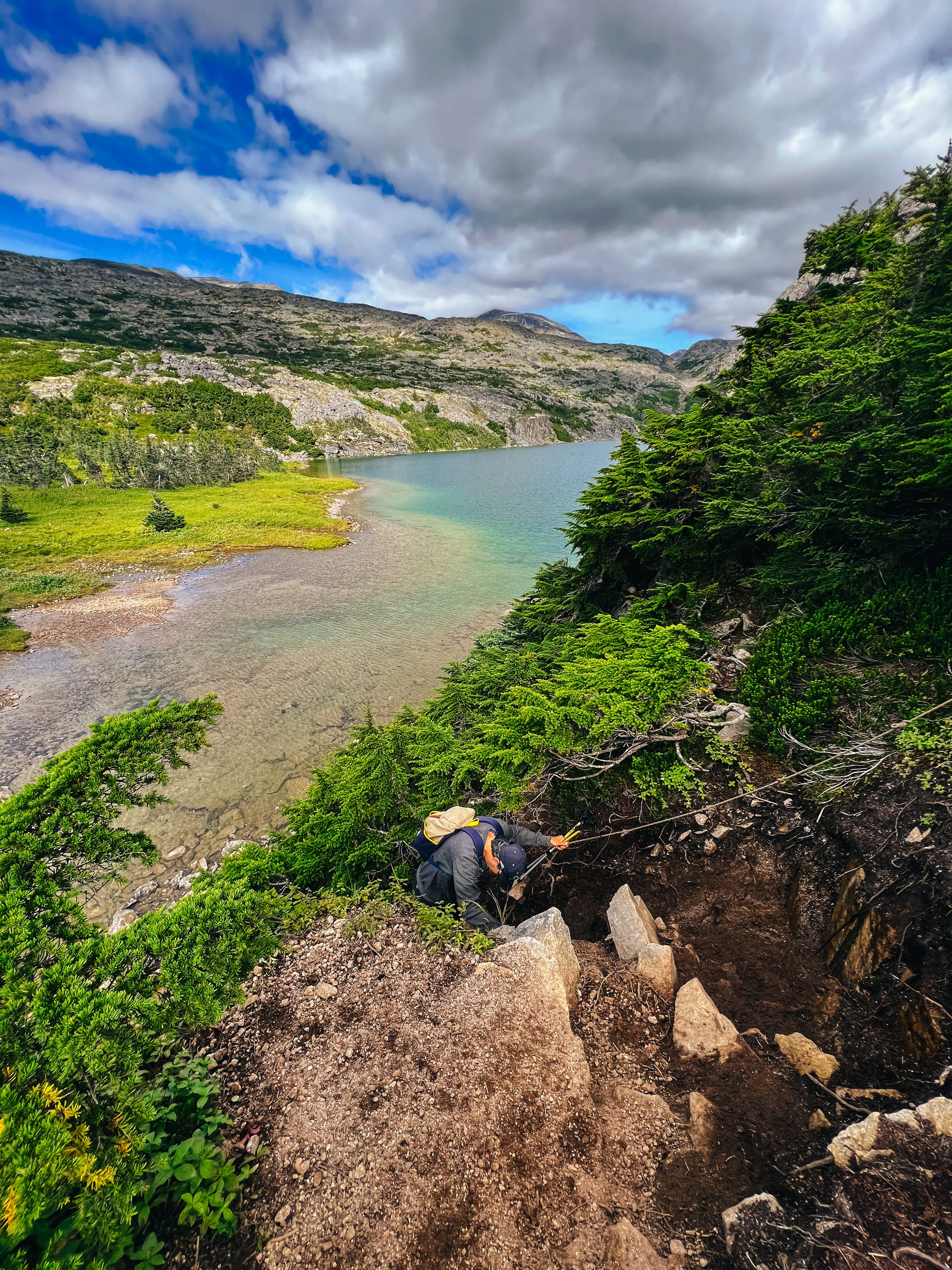
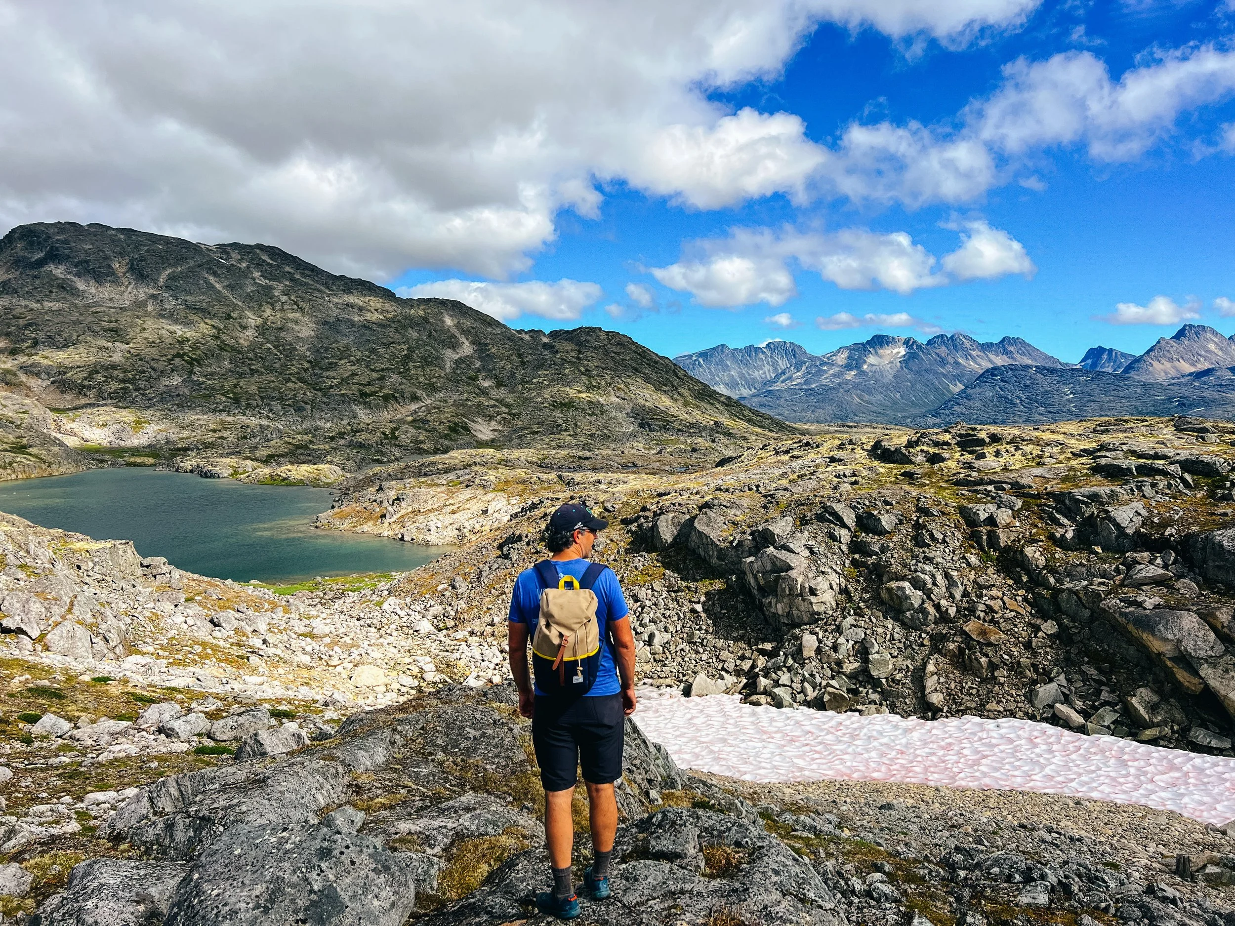
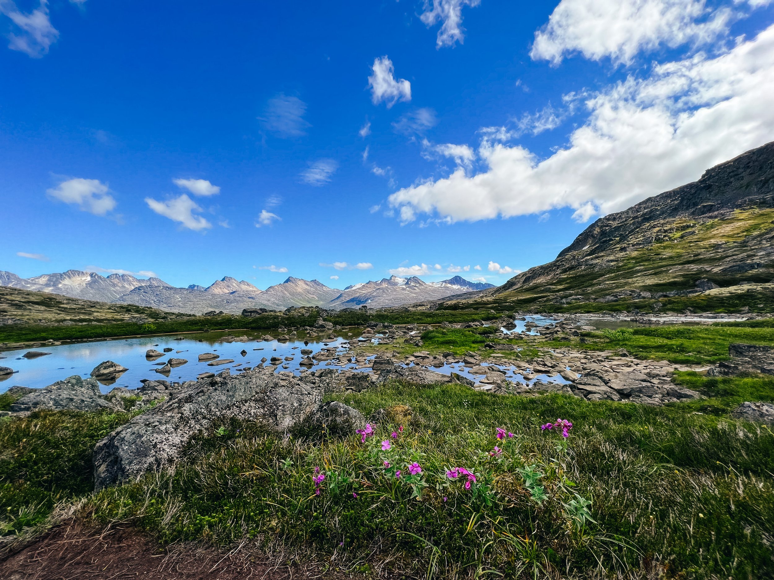
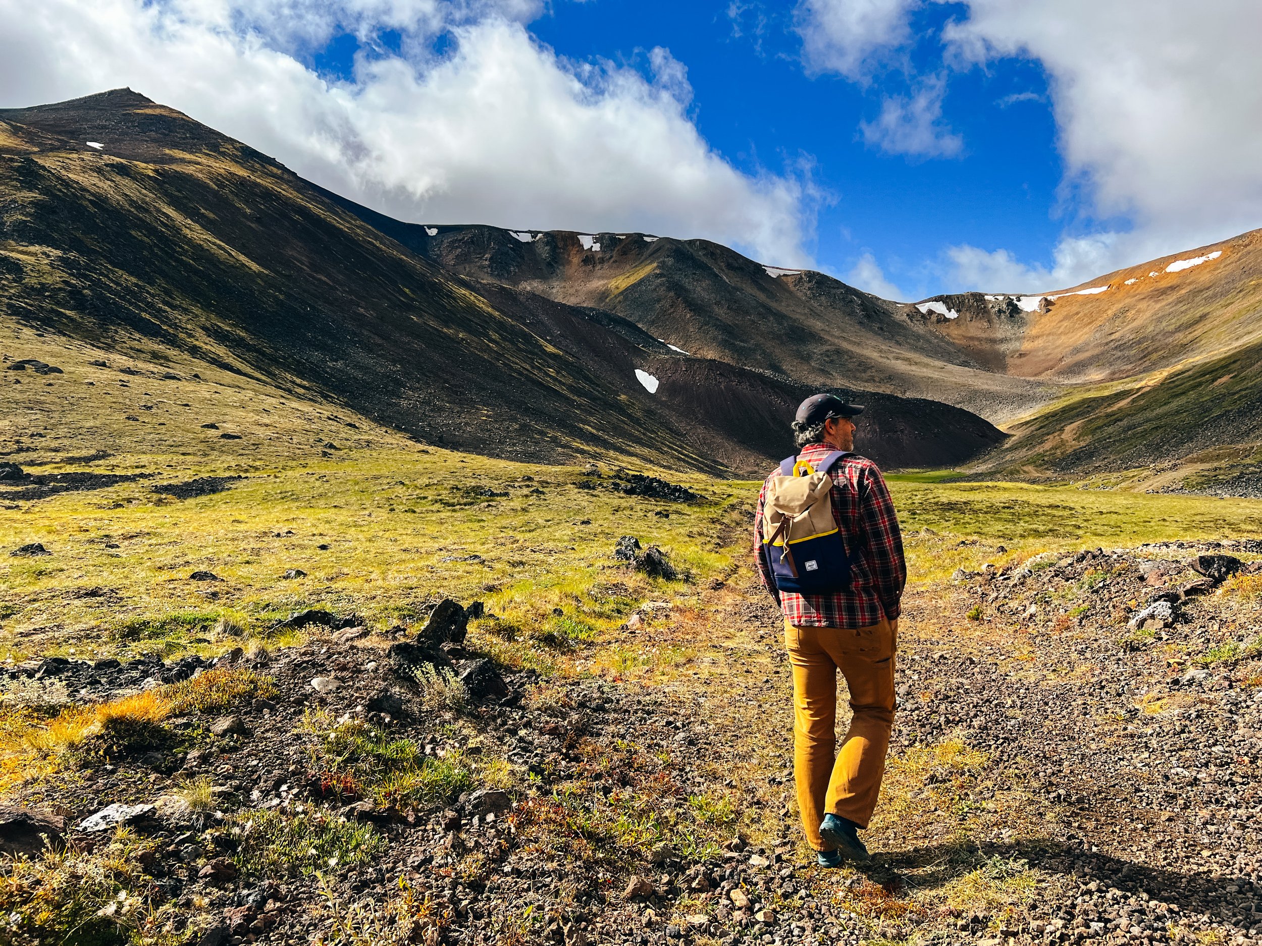
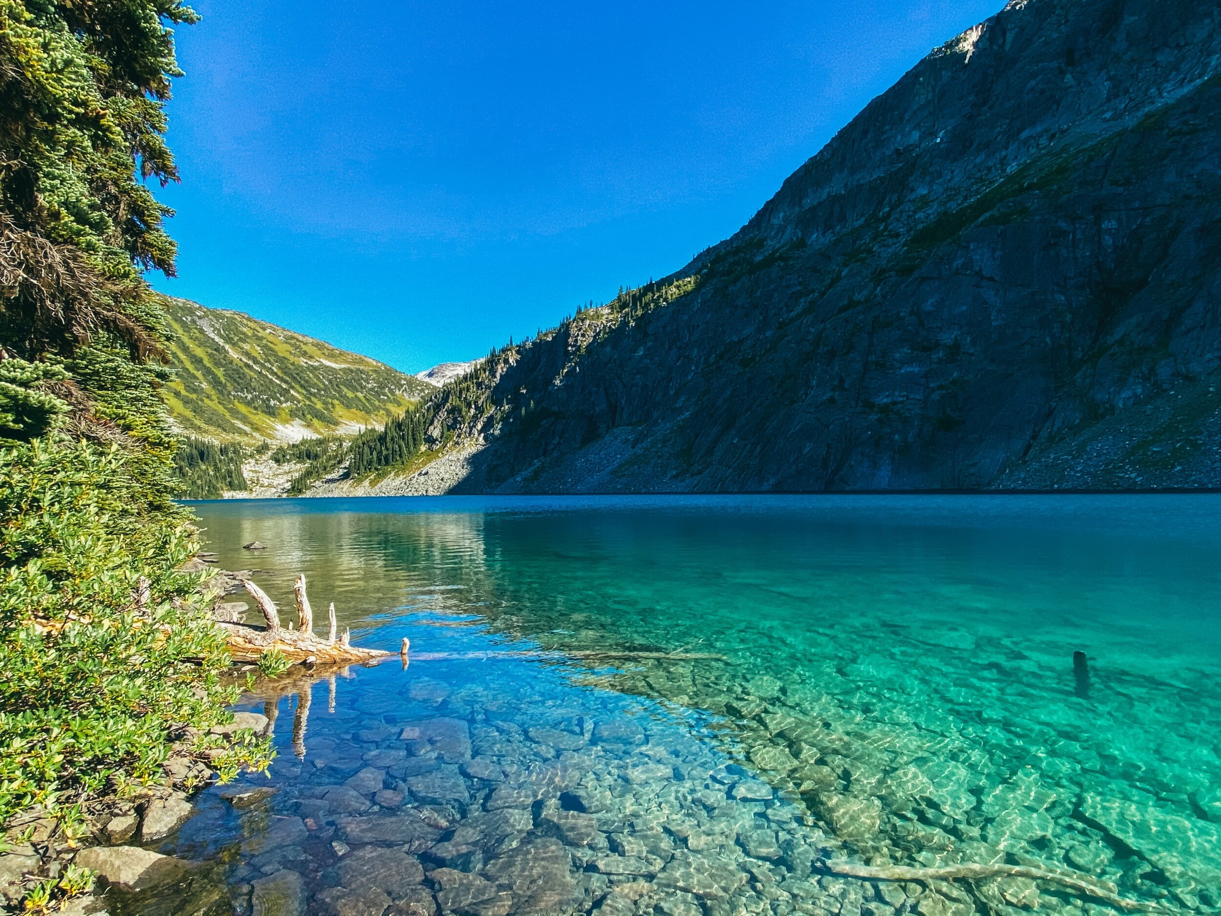
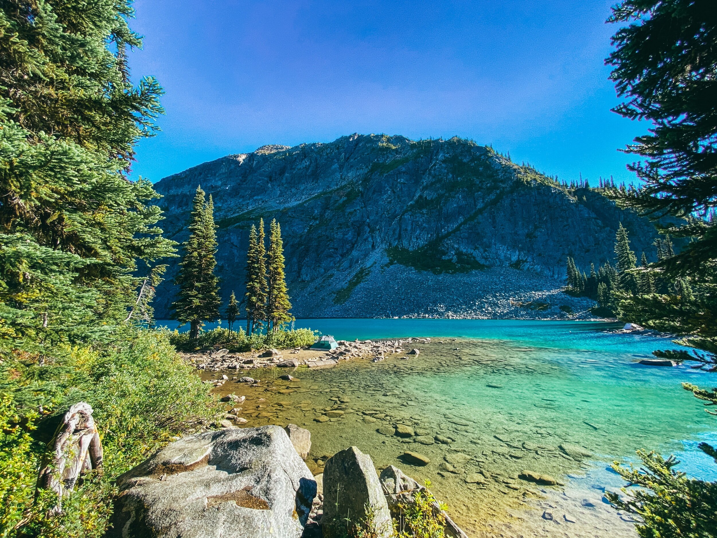
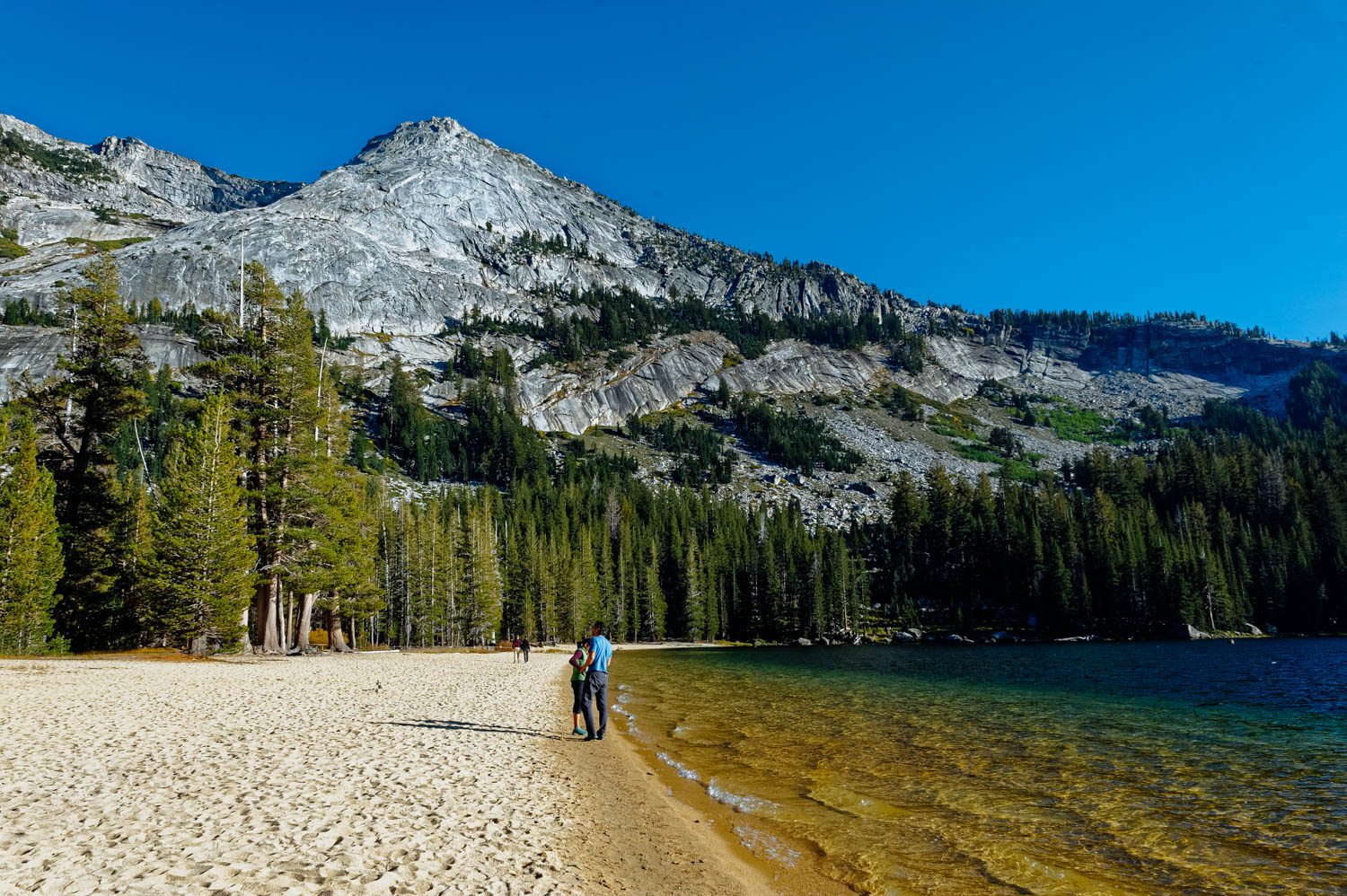
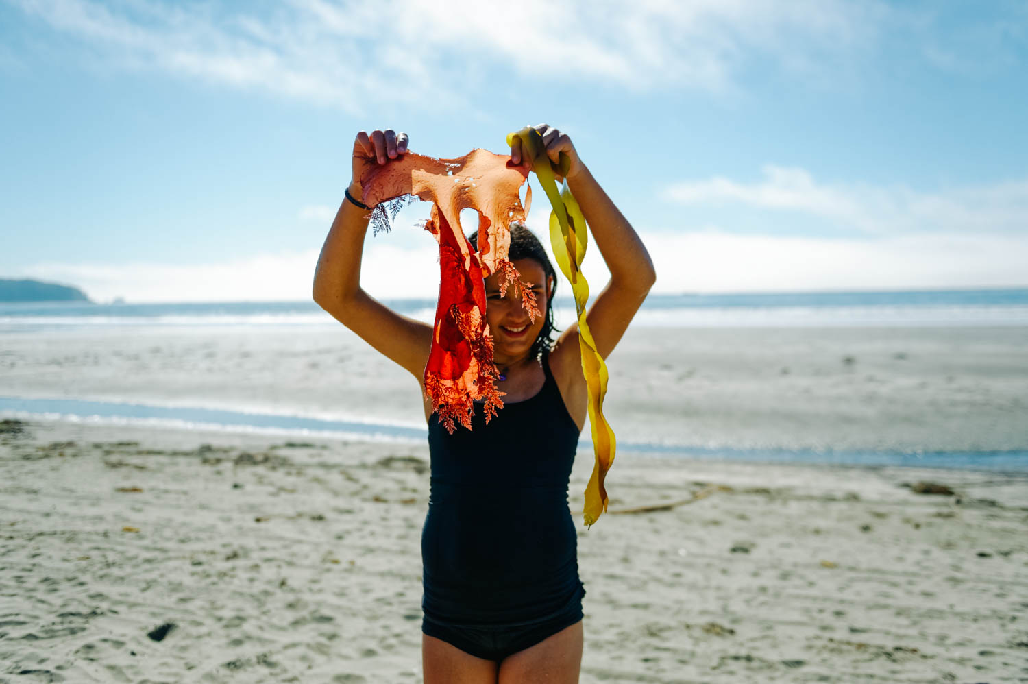
What's so fabulous about Yosemite? It’s got dozens of incomparable meadows and more than a hundred lakes, plus waterfalls as tall as a 200-story building, trees the size of rocket ships, gorgeous mountains, 800 miles of trails and even a few beaches. It’s bigger than a handful of European countries and nearly the size of Rhode Island.

We have been wanting to spend time in Yosemite for a long time, but because you need to reserve a camping spot a very long time in advance and because there wasn’t cell signal in the Valley and that we could not be there during the week when we need to work, we never made it. We found out there is good signal in the Valley where the campgrounds are located, but the download was pretty bad… but it was on a busy Sunday afternoon, so it might be just fine during the week when there is less usage. So we only came in for a day to get a feel of Yosemite. I don’t know how I thought I could get a *feel* for such a special place in one day among a huge crowd of people (I don’t do well in crowds. At all.).

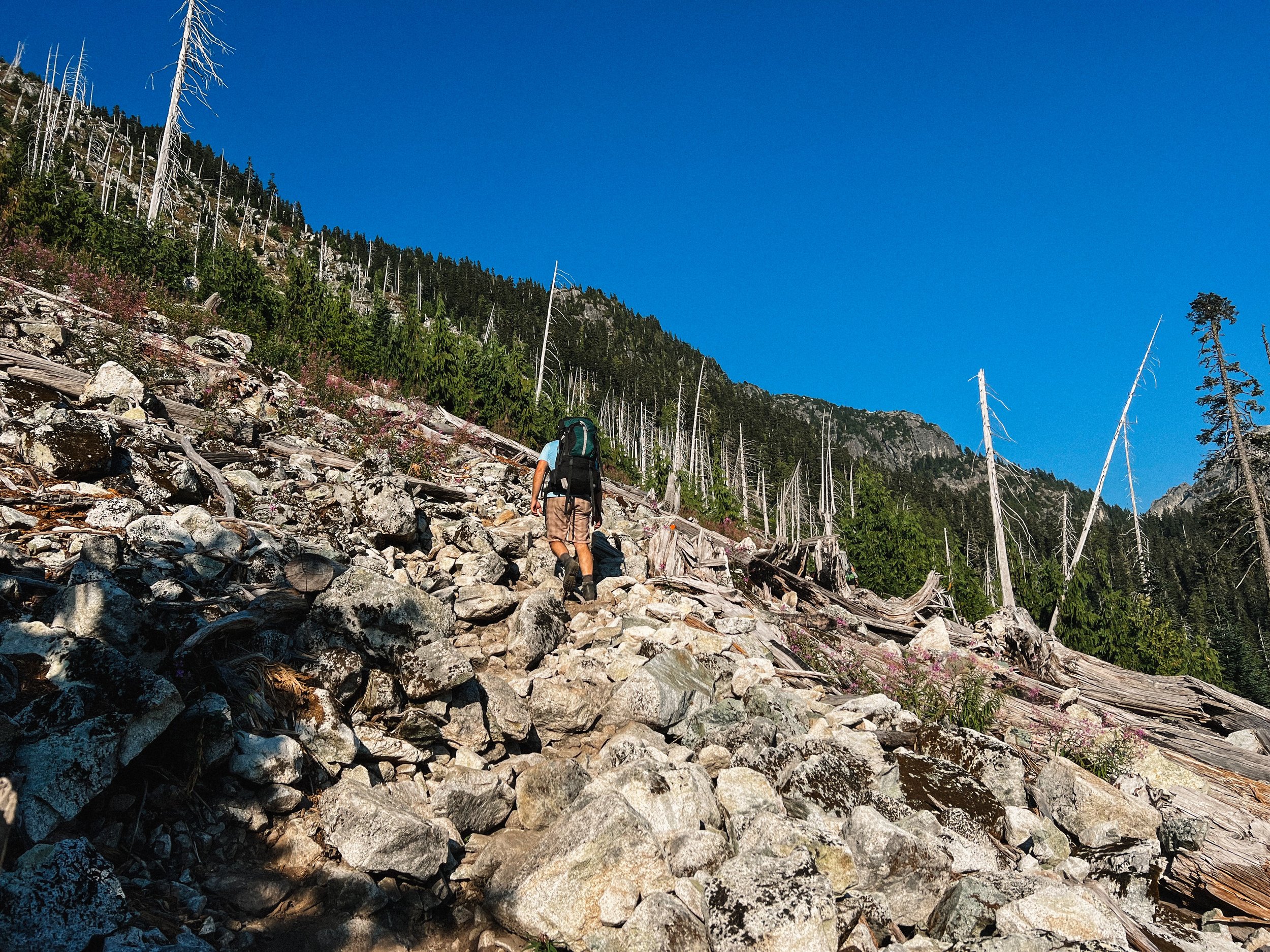
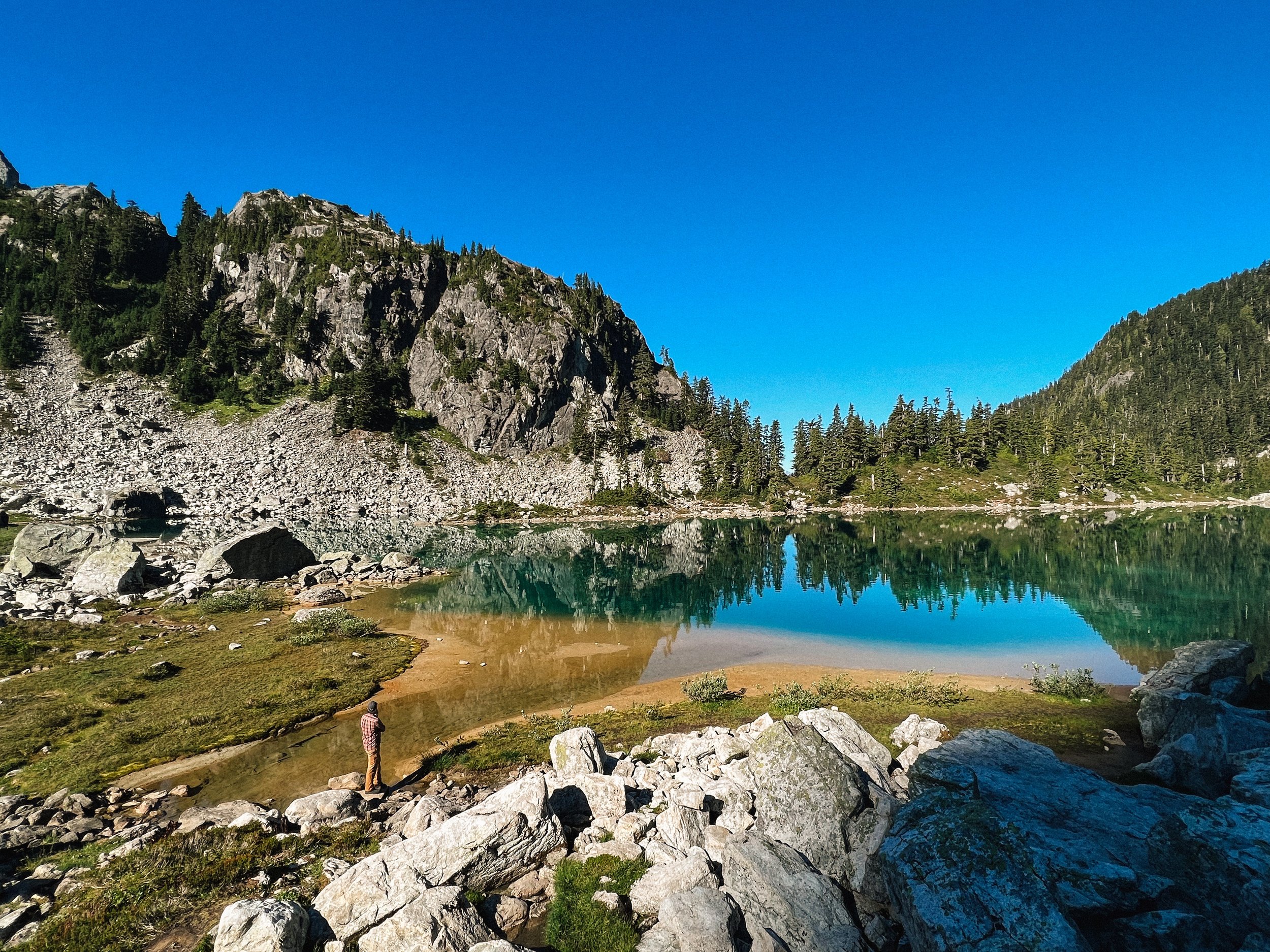
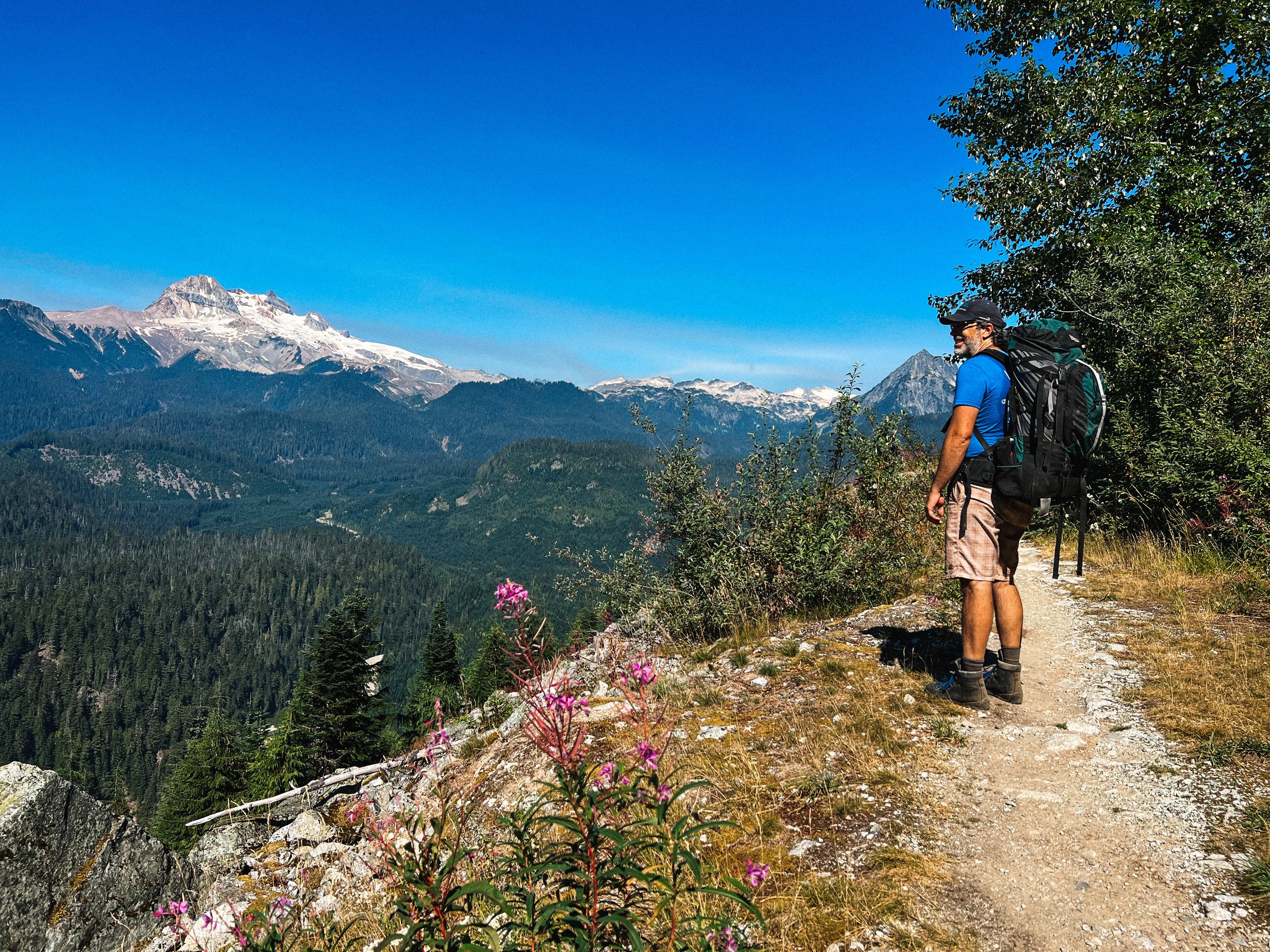
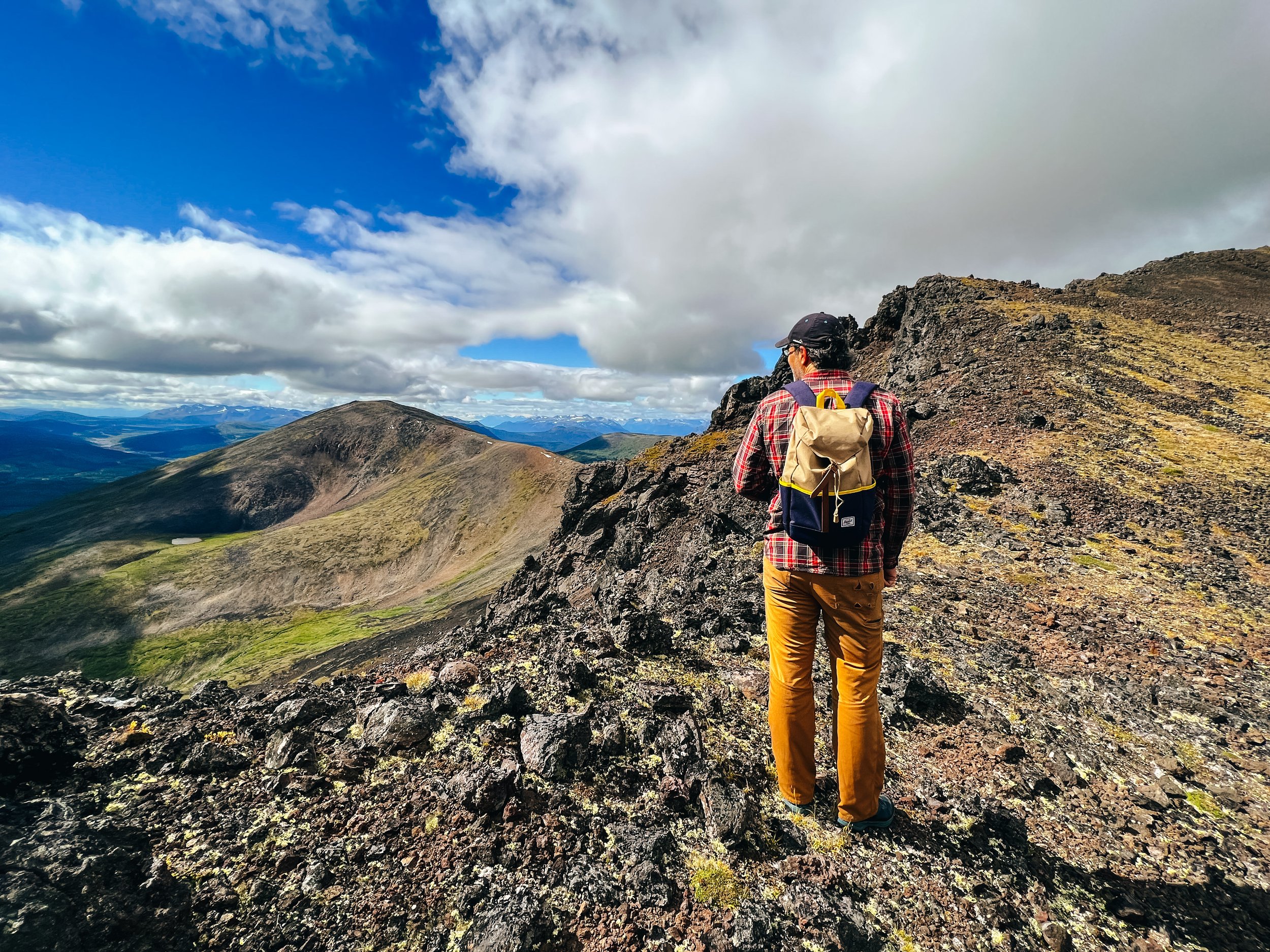
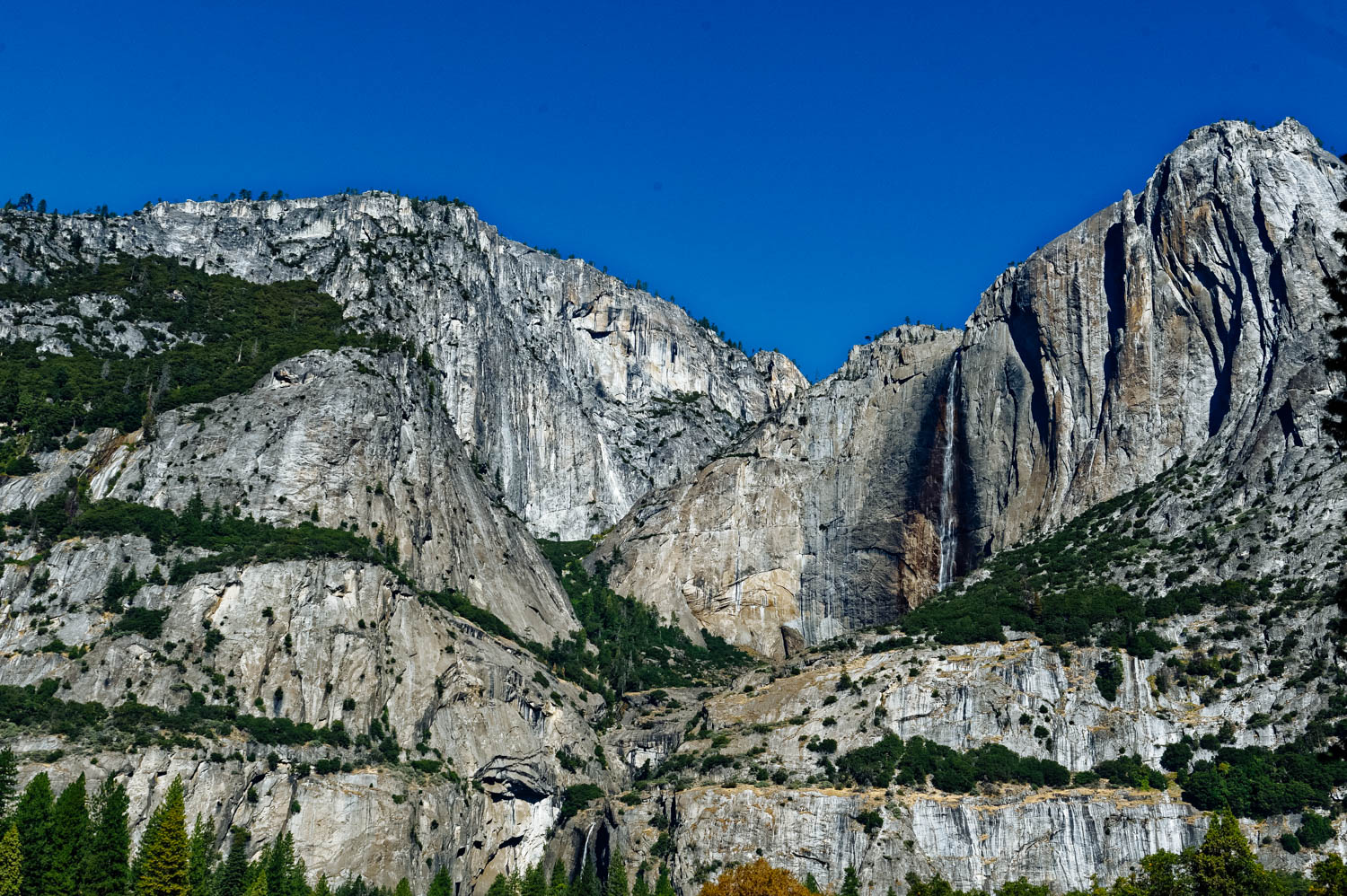
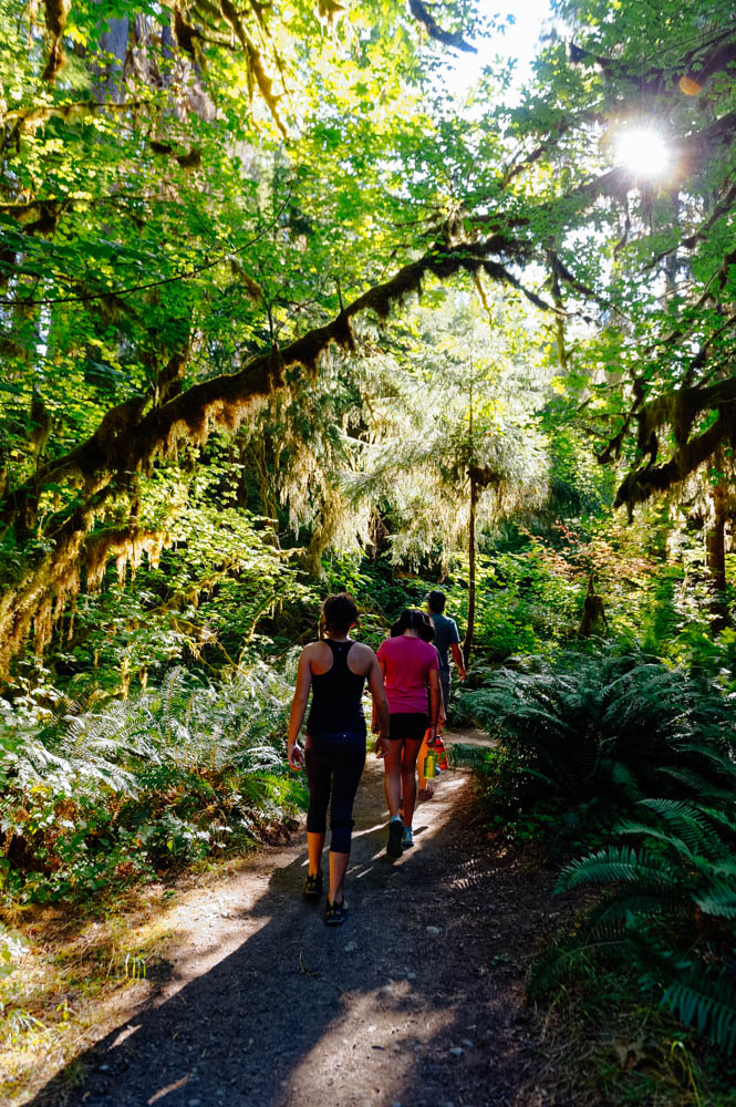
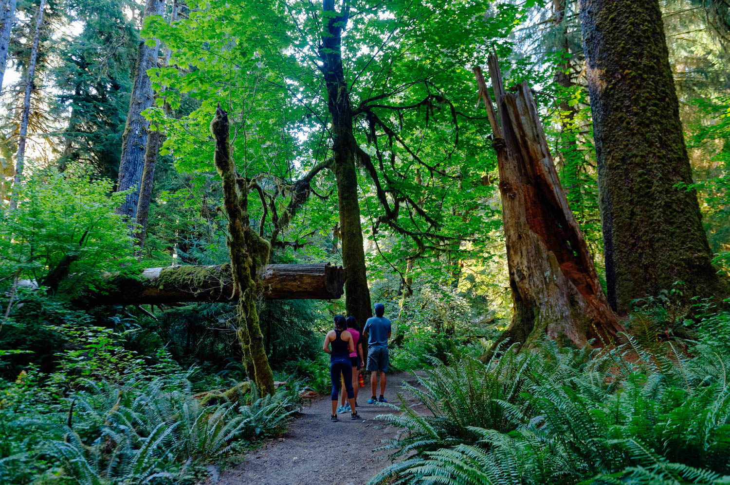
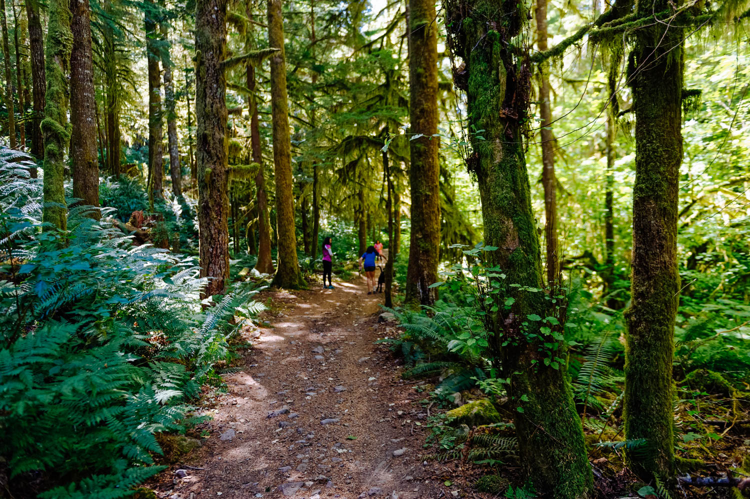
I believe that to really get a feel for Yosemite, you need to hike deep into it, to explore its wilder corners, to see half-dome from the top, to fall asleep and wake up on its ground. Walking in the Valley and hiking up to the very crowded Lower Fall didn’t provide this experience, and I knew it wouldn’t, but that’s all we could do this year.

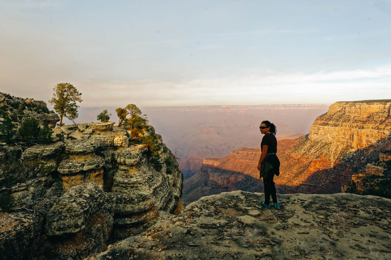
I remember feeling a bit like that the first time I went to the Grand Canyon (after months of exploring Utah’s hidden slot canyons and less busy National Parks – at the time). It felt impersonal, it didn’t touch me until I walked down into the canyon before sunrise and could start feeling its immensity as the sun rose. It was the same thing for Zion. The first time we went there, we rode the shuttle, hiked a few shorter trails (the girls were little) and even if I could see its beauty, I didn’t fall in love with it until the next time we went and hiked all the way up to Observation Point very early in the morning without the crowd. And the third time, when I hiked the Narrows, again early in the morning.

We didn’t bring our climbing gear because it didn’t make sense to for only a day, but it was so impressive to watch climbers on these beautiful tall granite walls. Again, I expected to be moved by the fact that rock climbing really began here in the Valley in the 60’s with all the now iconic climbers living at Camp 4. I expected that I would feel something special walking through Camp 4, looking at El Cap and Half Dome, but I didn’t really. I mean, they are beautiful and impressive, but as a climber (a very occasional one), I guess I expected to feel something more… and maybe I would if I had climbed there. Just scrolling through my Instagram feed as we waited in line for over 30 minutes to get out of the park, I could see that many amazing *famous* climbers that I follow were there and climbing boulders and walls as we droved and walked past some of them…

If your schedule allows it, visit the valley on weekdays and spend your weekends exploring other parts of Yosemite. You can drive or take free shuttle buses to much of the valley, but most enjoyable way to get around in the Valley is probably by bikes. If you didn’t bring your own bike, you can rent one at Curry Village, near the east end of Yosemite Valley and look funny wandering around the valley on these big cruiser bikes.

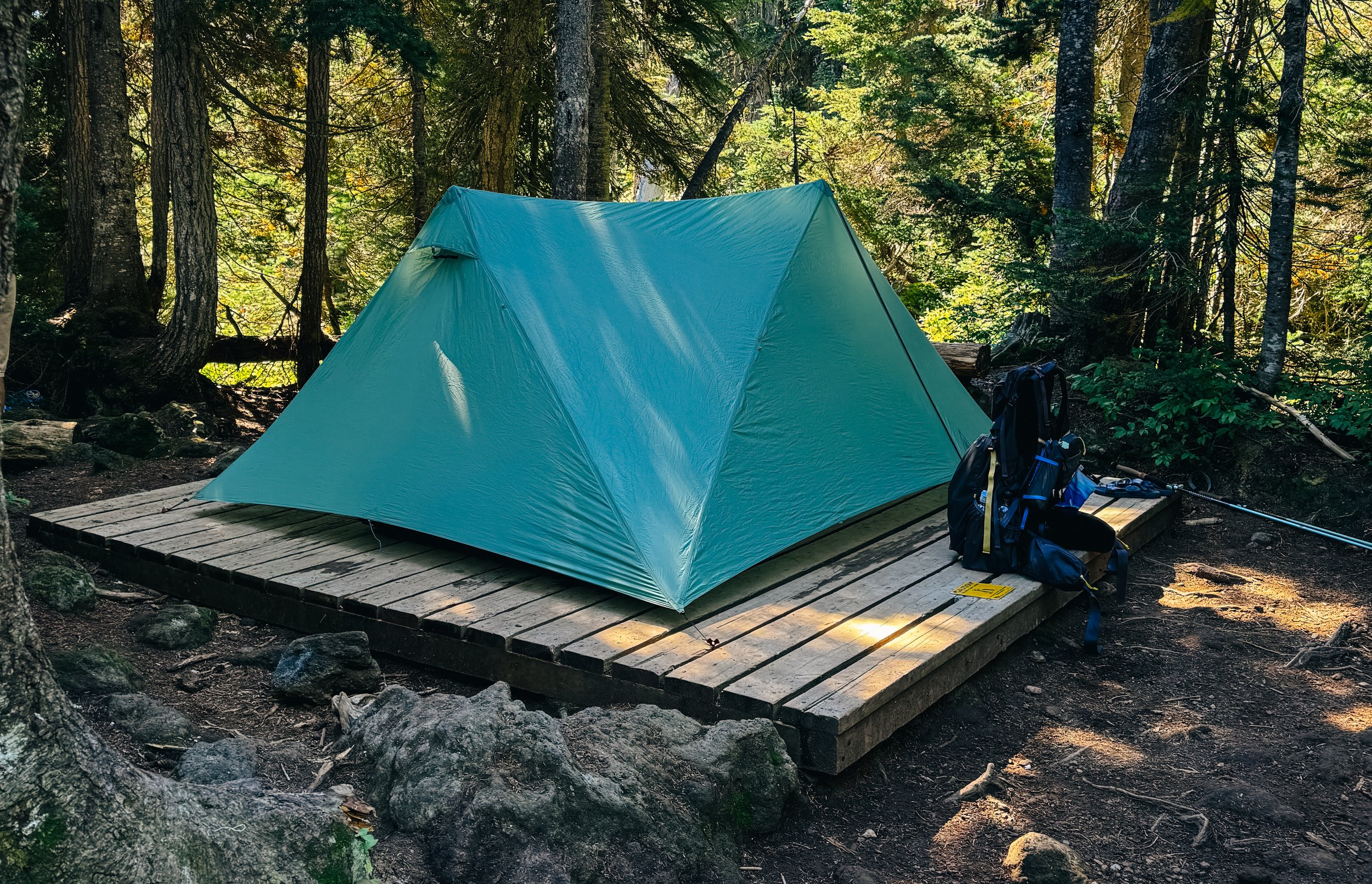
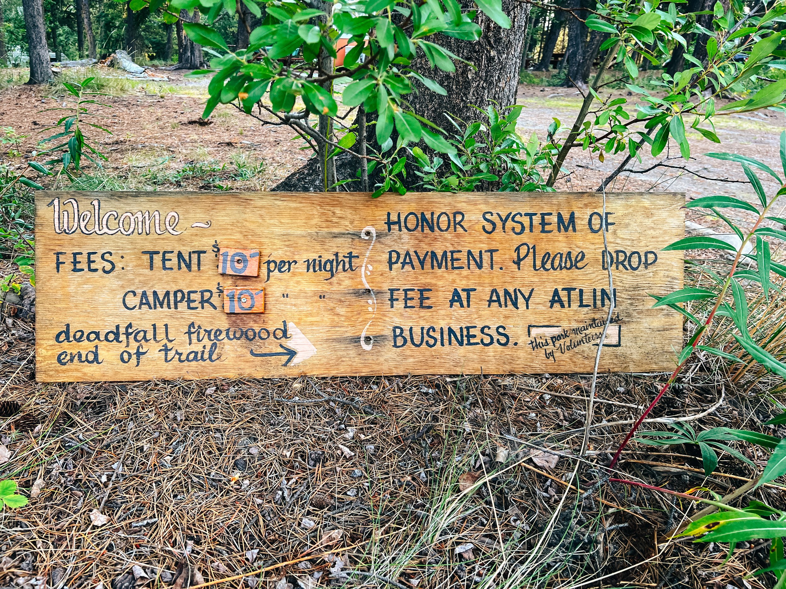
There are four non-camping options in Yosemite Valley: the $500-a-night Ahwahnee Hotel, the Yosemite Lodge, the cabins and tent cabins at Curry Village, and the quirky tent/house hybrids at the Housekeeping Camp. Good luck getting into any of them in the summer without a reservation well in advance, though. Same thing for the campgrounds… The Upper Pines, Lower Pines and North Pines campgrounds contain 379 campsites between them. There is also the famous Camp 4, a tent-only group campground mostly used by climbers, where the rock climbing in America began.

Traffic can get severely backed up on summer weekends, particularly in the eastern end of the valley. Once traffic gets heavy, the park service will reserve lanes for official park vehicles (ambulances, shuttle buses, and the like), and though you can see why they'd want to do that, it does tend to compound traffic issues. Try to arrive before 9 am or after 4 pm to avoid getting stuck in traffic, and once you're in the valley, find a parking spot ASAP and then either walk or take the free shuttle buses to get around in the valley.

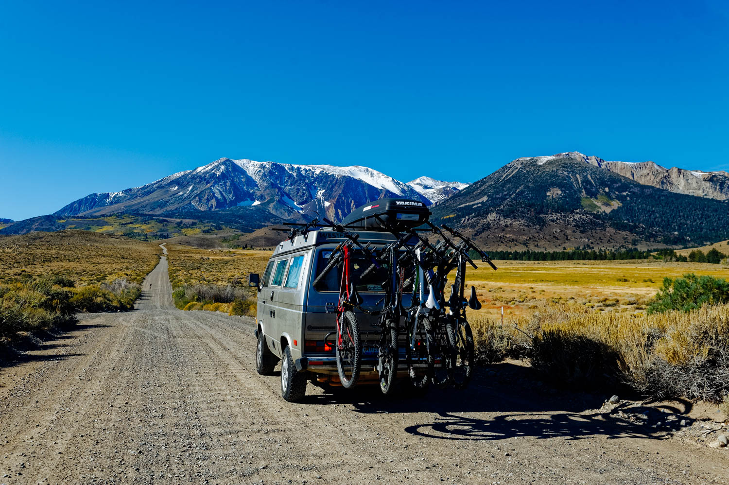
Most people enter the park through the West (near Fresno), but the drive from Mono Lake (East) through the Tioga Pass is beautiful. Tenaya Lake and Tuolumne Meadows are gorgeous and there are more hikes along the Tioga Road than in any other part of Yosemite, namely the very famous Cathedral Lake hike. The thing is, most hikes are either very long or very short in Yosemite (and the very short ones are very crowded and not that exciting in my opinion).

Because it was formed by glaciation, the valley walls are sheer and high, leading to world-famous cliffs: El Capitan, a mountain-climbing mecca, rises more than 3,000 feet (900 meters) virtually straight up from the Yosemite Valley floor, and Half Dome looms 4,800 feet (1,600) meters above.

Hiking to Parker Lake

_CFO8176_DxO.jpg
Ansel Adams Wilderness. One of my all time favorite photographer.

Ansel Adams Wilderness. One of my all time favorite photographer.

_CFO8191_DxO.jpg
The aspens are turning yellow in the Sierras already!

The aspens are turning yellow in the Sierras already!

_CFO8214_DxO.jpg
Beautiful Parker Lake with Mt. Wood.

Beautiful Parker Lake with Mt. Wood.

On the return, you can see Mono Lake in the distance.

On the return, you can see Mono Lake in the distance.

Parker Lake Trail, located in the Mono Lake area of the Eastern Sierra, is a very popular hike and for good reasons. It is a relatively short easy hike (3.8 miles round trip) that arrives at a gorgeous pristine alpine setting with towering Mt. Wood, Parker Peak (12,850 feet high) and Mt. Lewis. The lake is situated just above 8,000 feet. Make sure you bring lots of water and that you wear sun protection (including a hat) if you are hiking in the warm season. The first part of the trail climbs a bit and is completely exposed (if you are not acclimatized to altitude yet, you might find this gentle grade more demanding than usual). Dogs are allowed on the trail. It seems like it is a great fishing destination too!

The Hoh Rainforest, Olympic National Park, WA

_CFO7389_DxO.jpg
On the Spruce Trail

On the Spruce Trail

_CFO7402_DxO.jpg
Uprooted Sitka Spruce

Uprooted Sitka Spruce

_CFO7406_DxO.jpg
On the Hall of Mosses Trail

On the Hall of Mosses Trail

_CFO7452_DxO.jpg

The Hoh Rainforest is located in the Heart of the Olympic Peninsula in the Olympic National Park. It is one of the most diversified national parks in terms of landscape. It is mind blowing to stand in the hot rain forest and to think that Mount Olympus and the Blue Glacier are a mere 18 miles away. We saw many people leaving for long treks on the glaciers and the girls were asking when we could come back and do it too. Another long hike to add to our ever-growing list!

From the Visitor Center (and the campground), there are 3 main hiking trails. The longer Hoh River Trail on which you can hike as long as you want and two shorter trails that offer spectacular views (where the photos above were taken), The Hall of Mosses trail (0.8 miles) and The Spruce Trail (1.2 miles). I highly recommend you hike both, but if you can only pick one, do the Hall of Mosses.

We came here on the Sunday of Labor Day long weekend thinking there was no way we would have a spot (all the sites here are first come first serve, so no reservations). To our surprises, there were still a few sites left that were big enough for our bus. Loop A is much less treed and offers sites on the river. We chose to be there for solar. Loop B and C are in the moss covered trees (Loop C has pretty tight turns, check it out on foot or with a tow vehicle first). And great news, there even was connexion on many sites in Loop A (very hit and miss 4G LTE, but good enough for JF to work).

I had no idea that the Olympic Peninsula used to be an island. In fact, ice-age glaciers have carved the Strait of Juan de Fuca and Puget Sound, separating the Olympic Peninsula from nearby land. Years of isolation means that there are over 20 plants and animals that are found nowhere else on Earth!

It was so hot in the rainforest that I wanted a tangy refreshing drink. So I created this.The North Vanagon1 ½ oz Hendricks Gin½ oz St-Germain½ oz Grand MarnierJuice of 1 ½ key lime¼ oz simple syrup5 drops of Bittered Sling grapefruit and hops bitte…

It was so hot in the rainforest that I wanted a tangy refreshing drink. So I created this.

The North Vanagon

1 ½ oz Hendricks Gin
½ oz St-Germain
½ oz Grand Marnier
Juice of 1 ½ key lime
¼ oz simple syrup
5 drops of Bittered Sling grapefruit and hops bitters

Shake with ice and pour on one big cube of ice.


Neah Bay and Cape Flattery, Olympic Peninsula, WA

_CFO7266_DxO.jpg
How fairies are born

How fairies are born

Hike to Cape Flattery

Hike to Cape Flattery

View at the tip of Cape Flattery

View at the tip of Cape Flattery

There are many caves at the Cape.

There are many caves at the Cape.

The beautiful rugged waters of Cape Flattery

The beautiful rugged waters of Cape Flattery

Hobuck Beach

Hobuck Beach

_CFO7284_DxO.jpg
_CFO7316_DxO.jpg
_CFO7318_DxO.jpg
Green anemones in the tide pools

Green anemones in the tide pools

_CFO7321_DxO.jpg
_CFO7352_DxO.jpg
_CFO7361_DxO.jpg

From Neah Bay, it is a short 10 minute drive to Cape Flattery, the northwest tip of the Lower 48. The hike to get the to the tip where the Cape is located is only 1.5 mile through a beautiful Coastal Forest. Since Cape Flattery is on the Makah Reservation, you need to get a permit to hike the trail ($10 per vehicle for the year). We got ours at Neah Bay's General Store. 

As for camping in the area, the options are limited. Hobuck RV Resort has 10 full hook-up sites with a seaview (but pretty close together) for $40/night. There is also a field down the road where you can camp for $20/night (access to shower and outhouses, but otherwise dry camping). It might be a good option on the off-season, but since we got there on the Friday before Labor Day, it was a zoo. The only other option was a new RV park called Hide-away RV park (that looked more like an RV storage lot than an campground), but they had full hook-up sites for $30/night (and a few dry camping spots for $20) and it was a short 100 yard walk to the beach. It was much more quiet there.

Keep in mind that the drive to Neah Bay from Port Angeles is pretty twisty and bumpy (frost heaves), so lock your cupboards and secure everything and take what you need for motion sickness. Take your time and enjoy the scenery!

There is a beautiful hike that can be done as an overnighter (you sleep on the beach!) to Shi-shi Beach or as a long day hike (it is part of the Olympic National Park). With Mara being injured (and with the amount of cars along the trailhead), we decided to keep it for another time.

Also, on a different note, I will publish cocktails here in some posts (you can find them in the cocktails category), but I won't publish them all (it's a traveling blog after all!), but you can access them all either on Instagram or Facebook with the hashtag redbusdrinks (#redbusdrinks). My friend Catheline is translating many of them and publishing them on her beautiful site (in French only).

My Manhattan2 oz rye whiskey 3/4 oz @oddsocietyspirits Italian bittersweet Vermouth 1/2 oz rosemary honey syrup3 dashes orange sage bitters Stir with ice and strain. Garnish with a rosemary sprig.

My Manhattan

2 oz rye whiskey
3/4 oz @oddsocietyspirits Italian bittersweet Vermouth
1/2 oz rosemary honey syrup
3 dashes orange sage bitters

Stir with ice and strain. Garnish with a rosemary sprig.

Alice Lake Provincial Park and Squamish area, BC

_CFO6864_DxO.jpg
_CFO6929_DxO.jpg
_CFO6934_DxO.jpg
_CFO6918_DxO.jpg
_CFO6970_DxO.jpg
_CFO7037_DxO.jpg
_CFO7040_DxO.jpg
_CFO6981_DxO.jpg

The Coastal Forest is just magical... You cannot help but smile when you walk in it, feeling like pointy elf ears are gonna pop on your head or that wings will appear on your back. 

Alice Lake Provincial Park is a beautiful campground in that gorgeous forest. It's a popular family destination, so it's not unusual that the 108 sites are all reserved (and they don't have First Come First Serve sites). There are tons of beautiful hiking and mountain biking trails in the park and four lakes (only Alice lake is OK for swimming), but the hiking around Stump lake is beautiful. Dogs have to be kept on a leash everywhere and are not allowed on some trails and on the beach.

Mountain biking, hiking and fishing in Carcross, Yukon

upload.jpg
Reading aloud around the bonfire.

Reading aloud around the bonfire.

upload.jpg
Emerald Lake

Emerald Lake

Drawing plans since 2007!

Drawing plans since 2007!

Getting ready to ride on Montana Mountain.

Getting ready to ride on Montana Mountain.

Ending our ride right on the beach by Bennett Lake.

Ending our ride right on the beach by Bennett Lake.

upload.jpg
upload.jpg
upload.jpg
Her first catch! A beautiful 5 lbs lake trout! She got a second one that was a little smaller!

Her first catch! A beautiful 5 lbs lake trout! She got a second one that was a little smaller!

upload.jpg
Fish anatomy lesson with Philip.

Fish anatomy lesson with Philip.

upload.jpg
Hiking up Nares Mountain. Steep, but beautiful!

Hiking up Nares Mountain. Steep, but beautiful!

upload.jpg
Lots of board game time!

Lots of board game time!

The Carcross Commons

The Carcross Commons

upload.jpg

Mountana Mountain is a mountain biking mecca and people come from far away to ride these beautiful trails. Be warned though, that this is not the best place for a beginner rider. The riding is technical and steep in places, but there is plenty to keep the comfortable intermediate busy. For a longer ride, ride Mc Donald Creek or Nares View. For a quick afternoon ride we like to combine Maggie's Run, Sporting Wood, upper Dei Kwan, Sam McGee and AK DNR (then Mossy all the way to the beach on a nice day). Another good combo is Holey Roads, upper Dei Kwan, Lower Wolverine and Fox. Upper Wolverine will delight the more advanced riders, so will Black Bear and Goat. You can shuttle up or ride the nice uptrack (or do a bit of both!). Get more info on the trails here.

There are two places to camp in the area (on top of an ugly pricy RV park): the Carcross campground is right in town, but in a nice wooded area (that's where we like to stay, riding and walking distance from everything, good cell signal, free wood, included in our Yukon camping pass). There is also a new territorial campground 10 minutes out of town called Conrad. It's also treed and more quiet, but there is no cell signal and you need to drive to get anywhere.

There is the famous Carcross desert where every tour bus coming from Skagway (AK) stops, but there are also some beautiful (and hard!) hiking trails that rewards you with beautiful views of the area after only 10-15 minutes of hiking (no need to go all the way to the top, but we highly recommend it!). I especially recommend you hike Nares Mountain, Caribou mountain or Sam McGee (also called Mountain Hero), 2 km passed Conrad Campground. Bring your bear spray and make lots of noise, we have seen bears on these trails every year we came to hike them.

Carcross is a really cute little town with one of the most beautiful (although often very windy) beaches in the Yukon. The new Carcross Commons is a cluster of tiny houses with Tlingit-inspired facades featuring artisans, an amazing coffee shop, a gelato shop, an authentic maple products shop, a bike shop and lots more. There is also a delicious restaurant called The Bistro. 

There isn't much in terms of supply in Carcross. A corner store with pricy crappy food, a laundromat at the RV park (and that allowed us to fill our water jugs there) and dump and fill for $10, no propane, so make sure you come prepare and grocery shop in Whitehorse before coming.

By the way, for those interested, I think my love affair with the Fujifilm x-100t is already over. I miss the bokeh of my Nikon 24-70 mm (on the D700). I know I cannot ask this little camera to do it all well (as my friend Michel says, it's not a grand piano, it's a synthesizer, it doesn't do everything, but what it does, it does well). It's a great second camera, but since I cannot afford 2 cameras, I'll go back to my super heavy work horse. Maybe the xt-1 + the 56 mm f 1.2 would be the answer, but I would need at least another lens (23 mm?), which adds up...