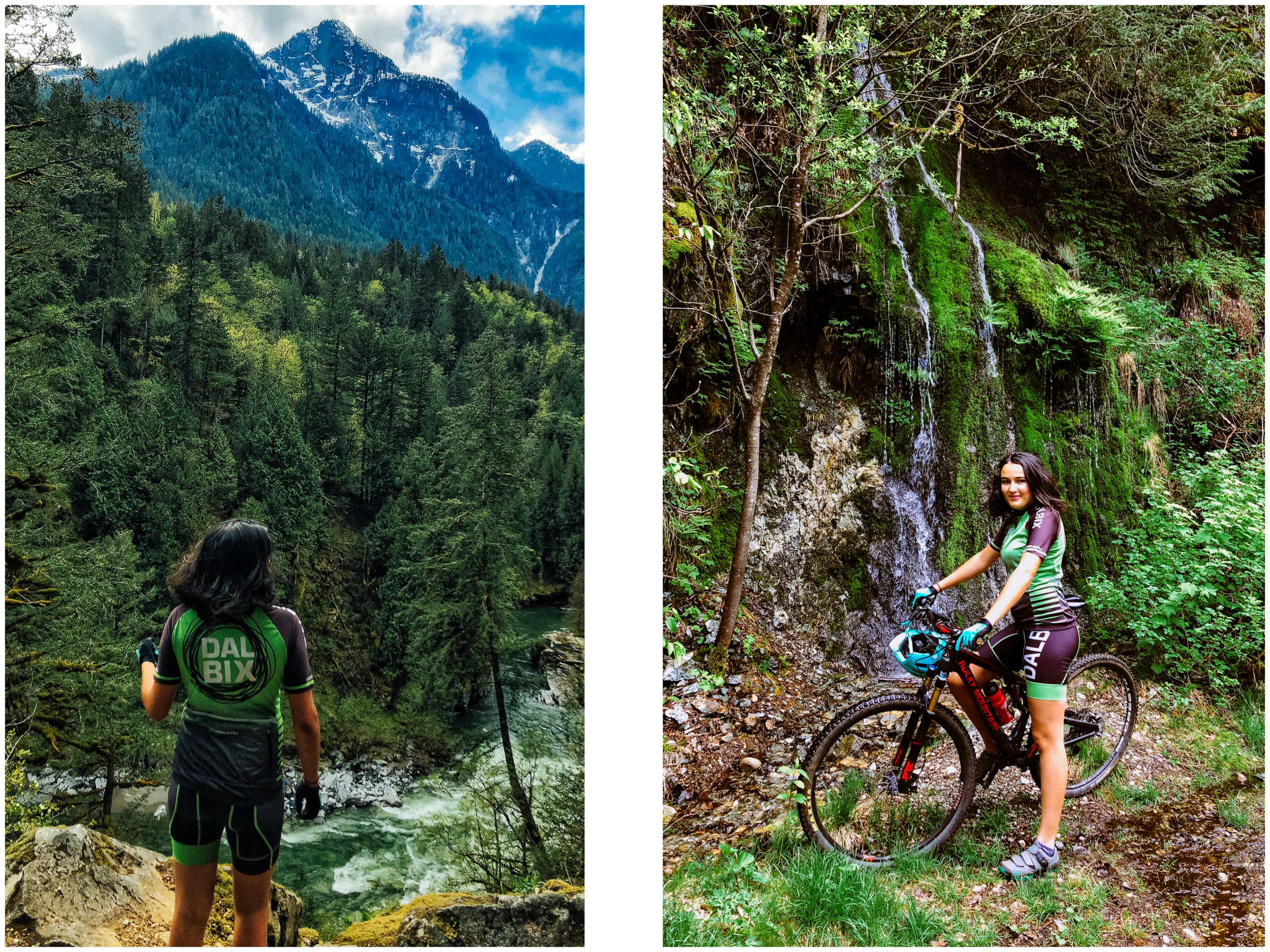
The Canadian Rockies

 
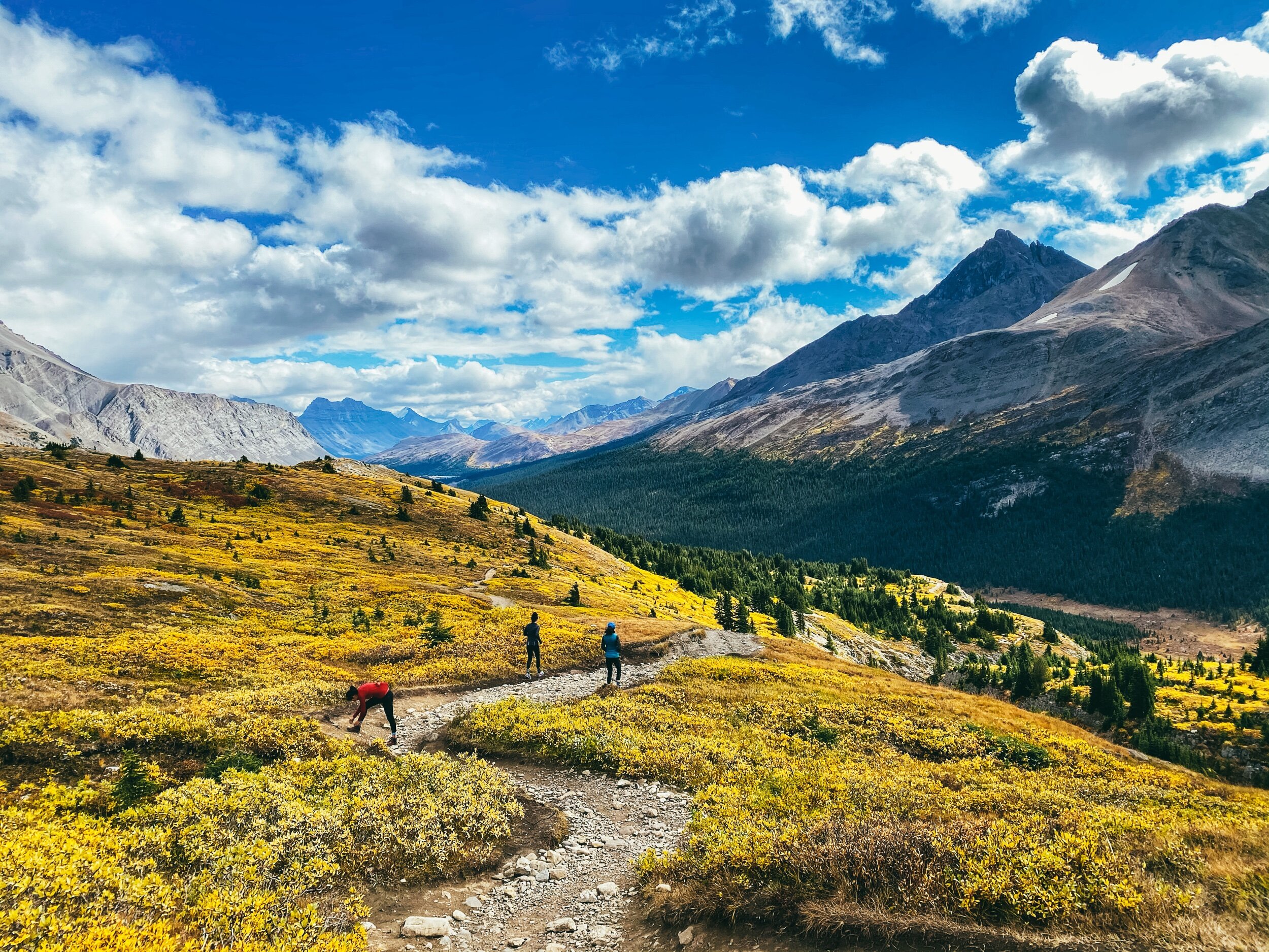
Wilcox Pass

Wilcox Pass

View of the Athabaska Glacier from Wilcox Pass.

View of the Athabaska Glacier from Wilcox Pass.

Wilcox Pass

Wilcox Pass

View of the Athabaska Glacier from Wilcox Pass.

View of the Athabaska Glacier from Wilcox Pass.

Looking at the Columbia Icefield

Looking at the Columbia Icefield

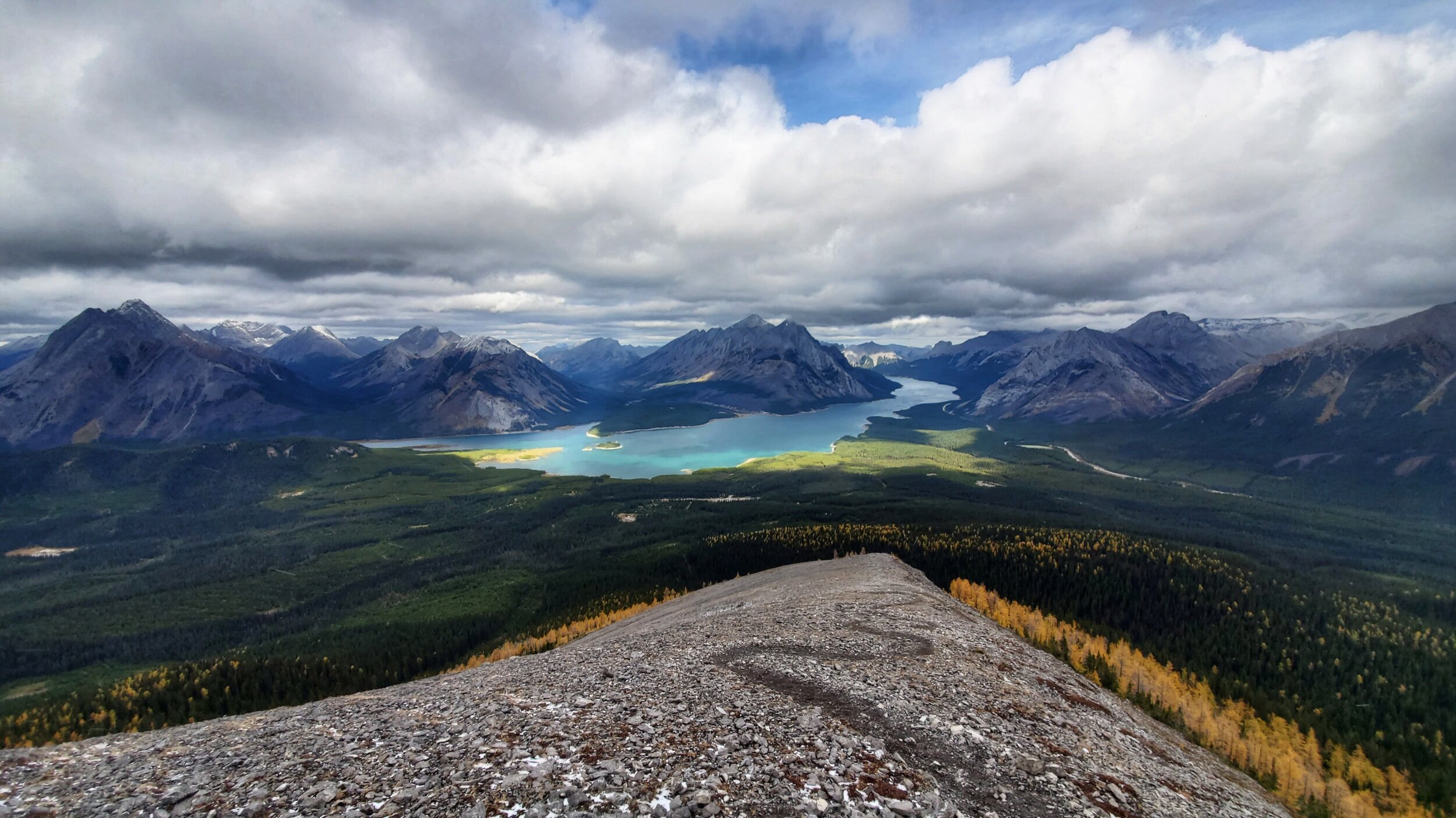
Beautiful boondocking spot along Abraham Lake

Beautiful boondocking spot along Abraham Lake

Bow Lake

Bow Lake

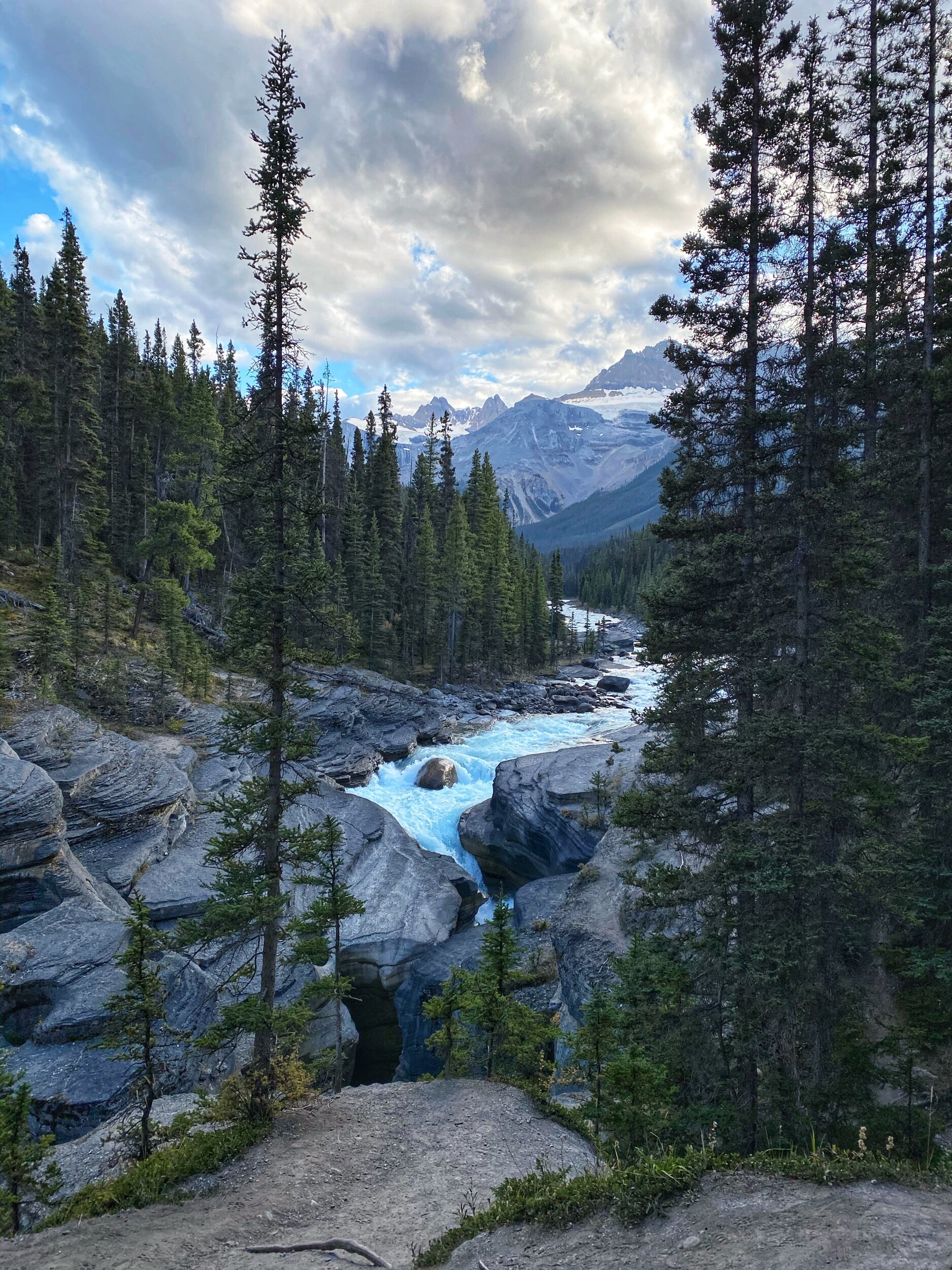
Mistaya Canyon

Mistaya Canyon

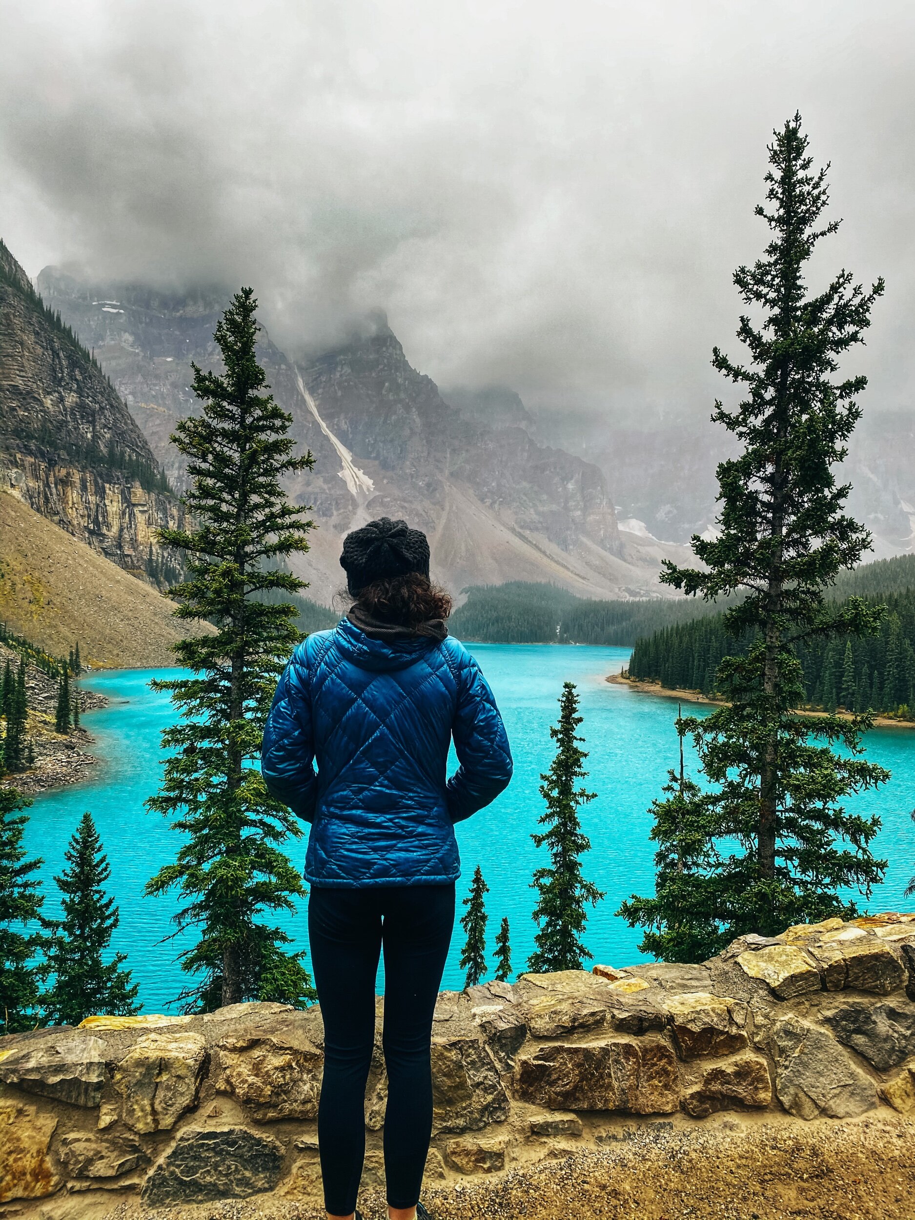
Moraine Lake

Moraine Lake

Lake Louise

Lake Louise

Jura Canyon

Jura Canyon


Johnston Canyon

Johnston Canyon

Johnston Canyon Lower Falls

Johnston Canyon Lower Falls

Tent Ridge

Tent Ridge

Snow on Tent ridge

Snow on Tent ridge

Snow on Tent ridge

Snow on Tent ridge

On the Moonraker Trails in Golden, BC

On the Moonraker Trails in Golden, BC

Cedar Lake Rec site, Golden, BC

Cedar Lake Rec site, Golden, BC

Radium Hot Springs

Radium Hot Springs

Full disclaimer: I was never wowed by the Rockies. We had camped in Banff and Jasper 18 years ago on our way to the Yukon with our old Westfalia and driven through the park a few times since then, but it was always so busy that I never could truly get a feel this beautiful place. This time, I really did. And I understand why people come from all over the world to see this place.

With the fall colors in full force and very few tourists because of the pandemic, it was the chance of a lifetime. So we drove from Squamish and back for a short 3 week road trip before settling down for the winter. And we’re so glad we did!

There are so many hikes to do in the area that I won’t even try to give you an exhaustive list, but I will gladly share our favorite. Some are short, some are long and involved, I’ll let you do your research depending on what you want. Interestingly enough, most hikes allow dogs on leash!

In the Spray Lake area, our favorite was Tent Ridge (a horseshoe loop on a stunning ridge, be warned that this is not a beginner hike, there is some exposure and some mandatory scrambling). A good shorter one south of Canmore is Little Lougheed (steep but offering rewarding view).

There are lots of hikes around Canmore; Ha-ling Peak is a popular one. We did West Wind last year and found it very rewarding.

In the Park, between Banff and Lake Louise, Stanley Glacier and Arnica Lake are both beautiful hikes, especially in the fall. While you are in the area, go check out Marble Canyon (a short 1,4 km hike).

Near Lake Louise, Paget Peak is beautiful and Iceline Trail looks like a fun challenge. Cirque Peak Trail is also on our list for next time.

By the way, if you have to beat the crowds to see either Lake Louise or Moraine Lake, pick Moraine! It is bluer and more beautiful. Go during the week (pick a day when the shuttles don’t run if that’s an option) and go after 4 pm. Or go super early. And since you got up that early, you might as well hike the Larch Valley Trail, especially in the fall when the larches are yellow!

On your way up toward Jasper, you can stop to stretch your leg and see beautiful Mistaya Canyon (1 km). Keep going North onto the Icefields Parkway and stop to hike Parker Ridge and Wilcox Ridge (so gorgeous in the fall!).

Also know that it is usually possible to camp in the Columbia Icefields parking lot for $15 AND to have cell service (a really good deal in that area). However, it was closed this year because of COVID. I won’t publicly share our all our camping spots, but will gladly share them with you if you write to me personally and are planning to go. If you are willing to drive a bit, there are tons of beautiful camping spots along Abraham Lake (but there is only cell signal at this spot toward the end of the lake, at the trailhead for Allstones Lake Trail, toward the town of Nordegg).

On our way back, we spent two nights in Golden at the beautiful Cedar Lake Rec site right on the Moonraker mountain bike trails. I highly recommend it!

From there, if you are heading toward Revelstoke to mountain bike, you can stop and hike the Hermit Trail.

On our way down toward Rossland, we stopped in Radium for a quick evening soak in the Hot Springs and spent the night at Redstreak campground, 6 km away.

P.S. You will notice that I didn’t mention Johnston Canyon in my post. (but posted pictures of it). It is one of the most popular hikes in Banff and we were lucky that the road that leads to the trailhead was closed this time around because of COVID to limit the amount of people, so we biked 6 km in to get to the trailhead. Even with that caveat, we found the hike to be quite busy, so I cannot imagine how crazy it must be when the road is open!


Driving up the Alaska Highway, 2019 Edition

 
After a few days in Langley (a suburb East of Vancouver) where we went to a garage we really like to get the bus ready for the long drive, we stopped in Hope and slept at the Othello Tunnel trailhead for the night (the exact location is in iOverland…

After a few days in Langley (a suburb East of Vancouver) where we went to a garage we really like to get the bus ready for the long drive, we stopped in Hope and slept at the Othello Tunnel trailhead for the night (the exact location is in iOverlander). It’s a section of the Kettle Valley Trail that leads you along this beautiful baby blue river through many tunnels. Unfortunately the tunnels were closed for the winter season.

It was still a short pretty bike ride. And there was a bear on the trail!!

It was still a short pretty bike ride. And there was a bear on the trail!!

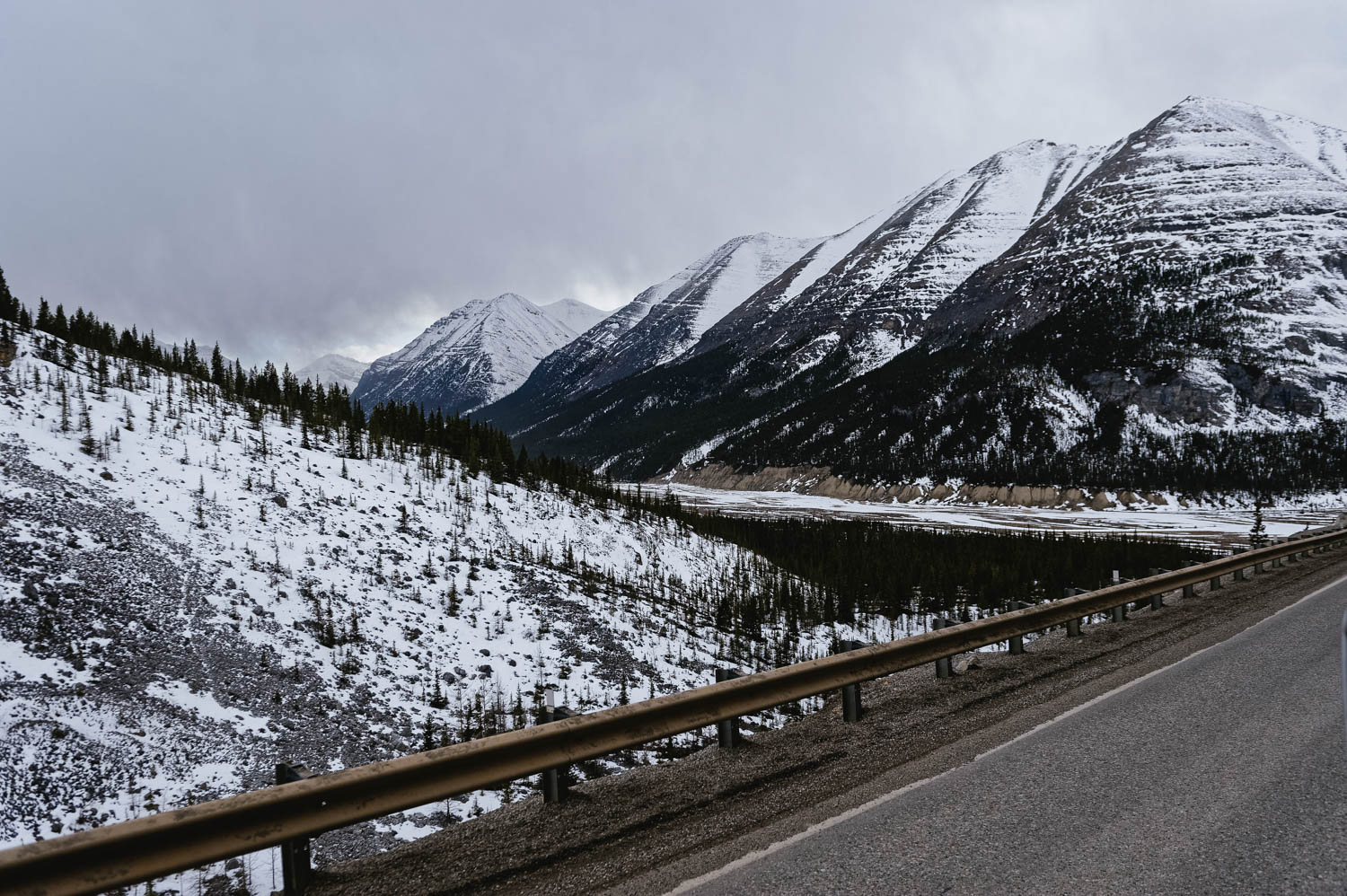
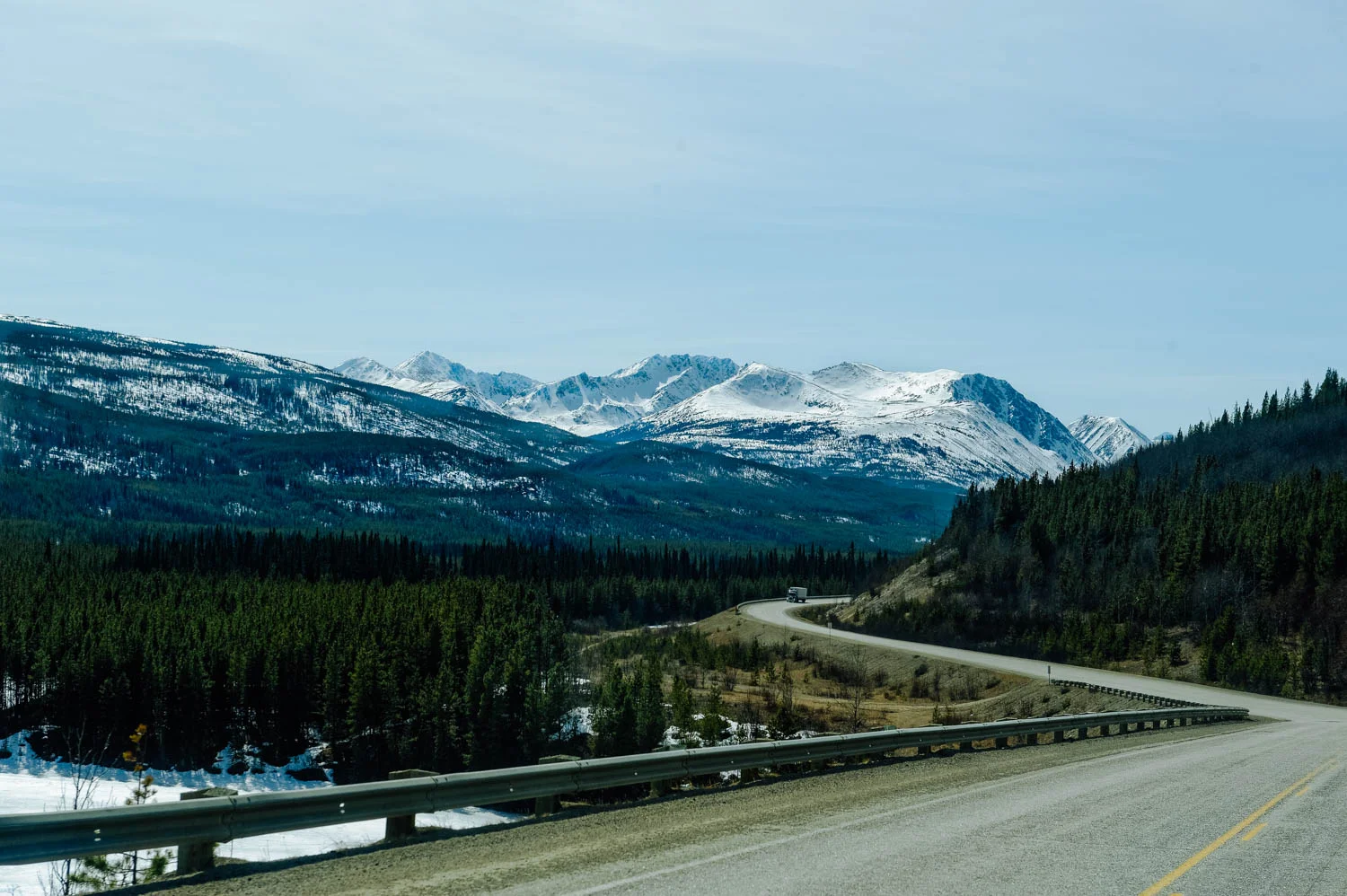
When then started our way North and were rewarded with incredible views. And snow, which felt pretty exotic to me.

When then started our way North and were rewarded with incredible views. And snow, which felt pretty exotic to me.

And lots of wildlife too.

And lots of wildlife too.

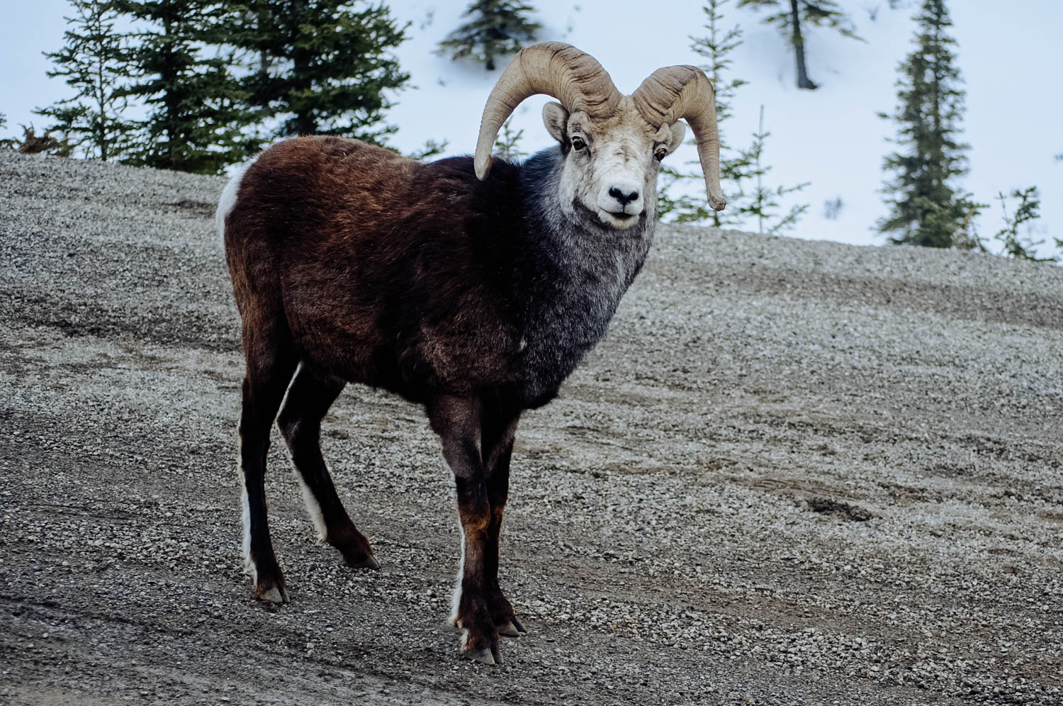
Stone sheep on the side of the road (and on the road licking minerals) in the Stone Mountain Park.

Stone sheep on the side of the road (and on the road licking minerals) in the Stone Mountain Park.

Such a spectacular drive! It’s the first time we drive up that early and it truly is the best time of year to do it!

Such a spectacular drive! It’s the first time we drive up that early and it truly is the best time of year to do it!

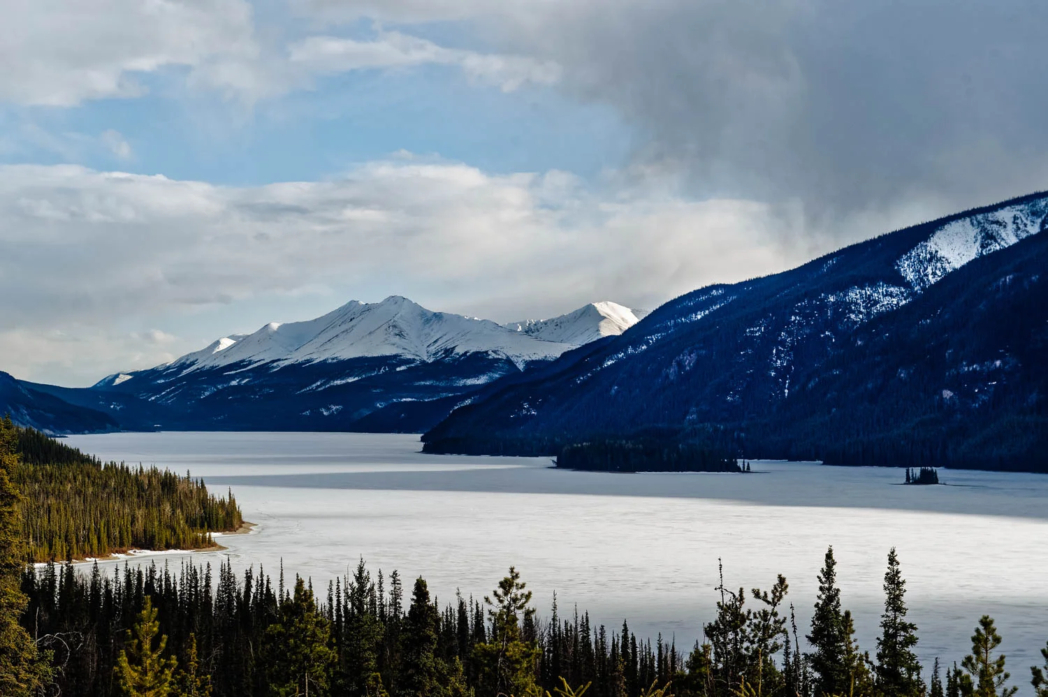
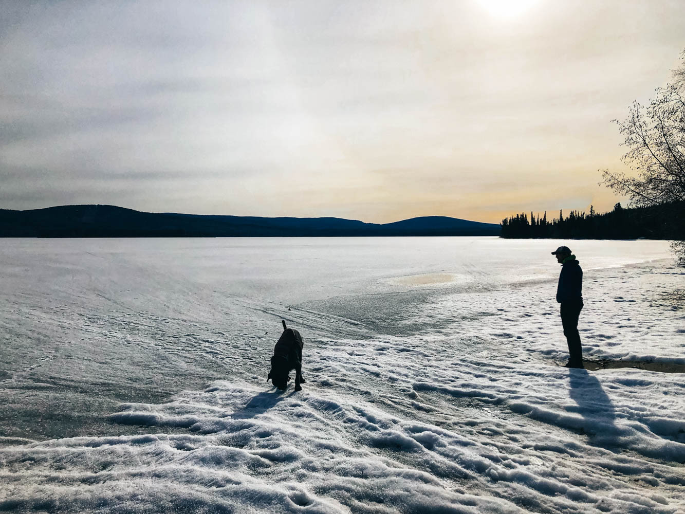
Muncho Lake, usually turquoise, was still frozen.

Muncho Lake, usually turquoise, was still frozen.

The Liard Bison herd. There were lots of brand new calves too!

The Liard Bison herd. There were lots of brand new calves too!

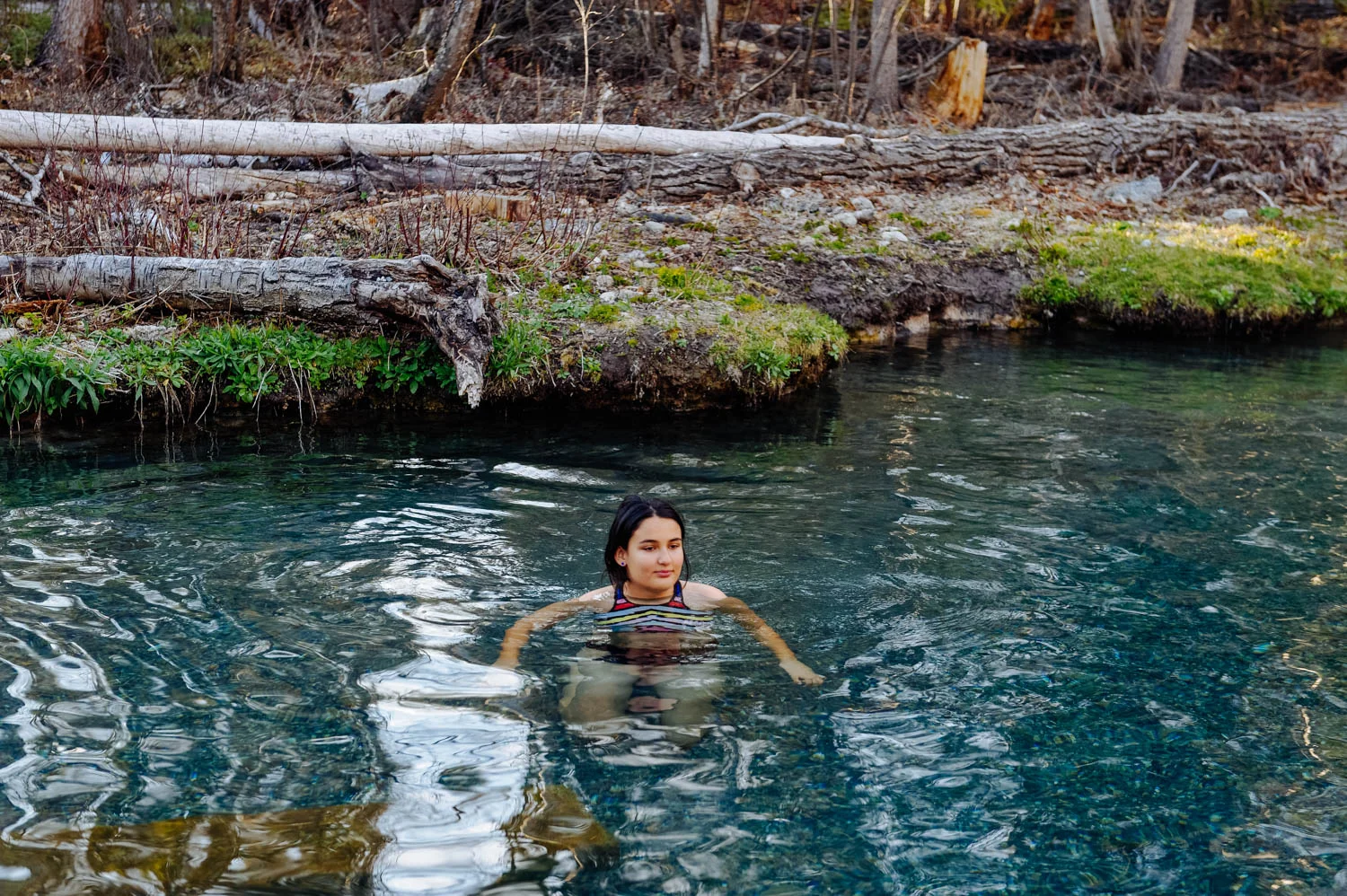
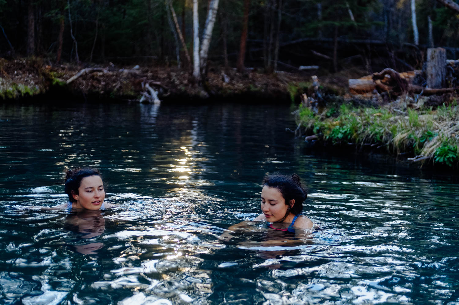
Liard Hot Springs!

Liard Hot Springs!

Paradise!

Paradise!

_CFO8460_DxO.jpg
_CFO8463_DxO.jpg
10 o’clock sky after leaving Liard toward Watson Lake.

10 o’clock sky after leaving Liard toward Watson Lake.

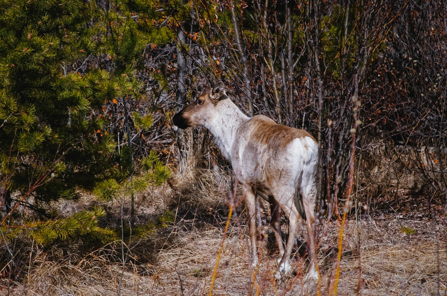
We saw lots of cariboos since it was still so early in the season.

We saw lots of cariboos since it was still so early in the season.

We slept at the Watson Lake territorial campground boat launch parking lot since the campsites were still covered in snow! You know what struck me the most this time driving up North: the complete utter silence. It's probably because most of the lak…

We slept at the Watson Lake territorial campground boat launch parking lot since the campsites were still covered in snow! You know what struck me the most this time driving up North: the complete utter silence. It's probably because most of the lakes are still frozen here, but it's as near as the Yukon winter silence as I've been in many many years.

_CFO8490_DxO.jpg
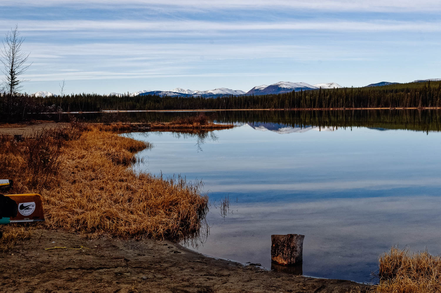
And we made it to our friends’ place in Whitehorse! This is their backyard on Kookatsoon Lake, our view from the bus for the next few weeks!

And we made it to our friends’ place in Whitehorse! This is their backyard on Kookatsoon Lake, our view from the bus for the next few weeks!

Camping in BC can be pretty expensive, but it is also fairly easy to find free camping spots as long as you are not on the islands or the coast. We used a combination of iOverlander, Park4night and Campendium (where I posted many reviews years ago about many spots in Northern BC) and were able to not pay for a site once after leaving the island. Granted, there were quite a few parking lot and industrial area nights, but as soon as you get North of Prince George, there are many rest areas and pull outs on the side of the roads where you can sleep for free, all the way to the Yukon!


Death Valley National Park

Zabriskie Point is the Delicate Arch of Death Valley National Park and people gather there at sunset. Being only 15 minutes away from the main Furnace Creek area by car, it is undeniably one of the most popular spots. It is only a 0,1 mile hike up a…

Zabriskie Point is the Delicate Arch of Death Valley National Park and people gather there at sunset. Being only 15 minutes away from the main Furnace Creek area by car, it is undeniably one of the most popular spots. It is only a 0,1 mile hike up a steep paved path to the viewpoint. Bring warm clothes if it is cold, it can get crazy windy there.

Zabriskie Point was named after Christian Zabriskie who was the general manager of the Pacific Coast Borax Company, which was huge in Death Valley during the borax mining days. The view has been featured in many pop culture references as well, with …

Zabriskie Point was named after Christian Zabriskie who was the general manager of the Pacific Coast Borax Company, which was huge in Death Valley during the borax mining days. The view has been featured in many pop culture references as well, with the most notable being the Joshua Tree album cover for the band U2.

Most people know that Badwater Basin in Death Valley National Park is the lowest point in North America (282 ft below sea level), but there's something even more fascinating about that place. When rainstorms flood the valley bottom like it did in th…

Most people know that Badwater Basin in Death Valley National Park is the lowest point in North America (282 ft below sea level), but there's something even more fascinating about that place. When rainstorms flood the valley bottom like it did in the last few weeks, the salt expanse is covered with a thin sheet of standing water. Each newly-formed lake does not last long, because the 1.9 inches of average rainfall is overwhelmed by a 150-inch annual evaporation rate. This means that even a 12-foot-deep, 30-mile-long lake would dry up in a single year!!! How crazy is that?

From the parking lot, you can see the sea level sign that is located 280 feet above you on the adjacent mountain. It really puts in perspective how low you are when you see it compared to the mountain.

From the parking lot, you can see the sea level sign that is located 280 feet above you on the adjacent mountain. It really puts in perspective how low you are when you see it compared to the mountain.

Look at those cool salt crystals! You can even taste them!

Look at those cool salt crystals! You can even taste them!

As soon as you enter the walk out on the platform you are immediately greeted with a huge lake of what looks like snow. This water is so high is salt content that almost nothing can actually live there. The salt flat itself is 5 miles long. Badwater…

As soon as you enter the walk out on the platform you are immediately greeted with a huge lake of what looks like snow. This water is so high is salt content that almost nothing can actually live there. The salt flat itself is 5 miles long. Badwater Basin is a truly unique place to stop. You don’t need a lot of time here, but it is worth checking out. Also note that it is very often windy there.

Golden Canyon is one of the many sites where different parts of the original Star Wars movies were filmed. It is the most popular hike in all of Death Valley National Park and is a little over 3 miles round trip, depending on where you stop. The par…

Golden Canyon is one of the many sites where different parts of the original Star Wars movies were filmed. It is the most popular hike in all of Death Valley National Park and is a little over 3 miles round trip, depending on where you stop. The parking lot is about 10 minutes South of Furnace Creek.

It has gaping canyons, massive boulders, waves of plantless terrain and even a large red rock called the Red Cathedral at the end. You can totally picture a few stormtroopers appearing around a boulder. You can see some of the reconstructed scenes v…

It has gaping canyons, massive boulders, waves of plantless terrain and even a large red rock called the Red Cathedral at the end. You can totally picture a few stormtroopers appearing around a boulder. You can see some of the reconstructed scenes vs the original scene here.

Approaching the Red Cathedral (in the back).

Approaching the Red Cathedral (in the back).

After leaving Death Valley from the south west road, we decided to stop to visit another geologically interesting place near Searles Lakes. When you visit Trona Pinnacles, you cannot help but feel like you are on the moon or on another planet. The u…

After leaving Death Valley from the south west road, we decided to stop to visit another geologically interesting place near Searles Lakes. When you visit Trona Pinnacles, you cannot help but feel like you are on the moon or on another planet. The unusual landscape is made up of more than 500 spires, some as high as 140 feet, rising from the bed of the Searles Dry Lake basin. The pinnacles vary in size and shape from short and wide to tall and thin, and are composed primarily of calcium carbonate (tufa), like those found in Mono Lake. The pinnacles were formed underwater from 10,000 to 100,000 years ago when Searles Lake was one of a chain of interconnected Pleistocene lakes stretching from Mono Lake to Death Valley.

The Trona Pinnacles are not in Death Valley, they are truly in the middle of nowhere, about 25 minutes east of Ridgecrest, and are one of those places that have to be seen to be believed. Like the Alabama Hills, it is hard to do justice to the sheer…

The Trona Pinnacles are not in Death Valley, they are truly in the middle of nowhere, about 25 minutes east of Ridgecrest, and are one of those places that have to be seen to be believed. Like the Alabama Hills, it is hard to do justice to the sheer beauty of these massive rock structures that jot a landscape that is almost entirely barren and flat.

The Pinnacles are recognizable in more than a dozen movies. Over thirty film projects a year are shot among the tufa pinnacles, including backdrops for car commercials and sci-fi movies and television series such as Battlestar Galactica, Star Trek V: The Final Frontier, Disney's Dinosaur, The Gate II, Lost in Space, Planet of the Apes, and more recently the movie Holes.

There is a short half mile hiking trail, but you can drive around easily in a 4 x 4 vehicle to see the formations. They were more impressive from afar in my opinion. There are designated camping spots and the area is very well defined with rocks to …

There is a short half mile hiking trail, but you can drive around easily in a 4 x 4 vehicle to see the formations. They were more impressive from afar in my opinion. There are designated camping spots and the area is very well defined with rocks to prevent driving over the fragile areas. Please set up camp only where there is already a fire ring outside of the rock-fenced areas. There was no usable cell signal there.

We have decided to camp at Texas Spring Campground, since it is the cheapest and the more beautiful. There are no services and a no generator rule. There is a dump, water and toilet on site. Note that for 5$ per person (during the week, $10 on weekends), you can access the hotel warm fed spring pool and showers. The pool was just too cold - 85 F - to be comfortable when we were there (it was cold and windy that night). Note that you only need one card ($5) to enter the pool and shower area and that there is no lifeguard or staff on duty there, so decide accordingly ;)

There are more hikes and sights to see in Death Valley, but some were closed when we were there since the recent rains had washed out the roads or there were closures due to construction. We wanted to hike Mosaic Canyon, check out Scotty’s Castle and bike Titus Canyon, but couldn’t.

We passed on the Mesquite sand dunes since we had just been at the Kelso dunes in the Mojave desert (that are bigger and more impressive) and the Racetrack (those moving rocks that have left tracks behind them) since it is located at the end of rough dirt road and is an adventure in itself.

*Be advised that exiting Death Valley through the west (road from Stovepipe Wells to Panamint Springs) requires driving a very long twisty downhill section that could be hard on your brakes if you tow a trailer or drive a motorhome. We separated the Westy from the bus for the long climb and descent and it still was a bit nerve-wracking, glad we have a brake retarder on the bus. A friends’ brakes caught on fire there. Be warned and drive slow.

Interesting facts about Death Valley:

Death Valley National Park is the largest national park in the Lower 48 at a whopping more than 3.4 million acres.

The highest recorded temperature in the world was recorded in Death Valley’s Furnace Creek at 134 Fahrenheit in July, 1913. For almost one hundred years, a false recording made in Libya overshadowed Furnace Creek’s claim to fame. In 2012, however, the record went back to Death Valley after it was concluded that the Libyan recording was made in error.

Death Valley is only 76 miles from the highest point in the country, Mt. Whitney, which tops out at an elevation of 14,505 feet. In other words, the lowest and highest points in the contiguous U.S. are less than 100 miles apart!

There is every year an ultramarathon in Death Valley called the Badwater 135, which links these two points! The race organizers description goes like this : Covering 135 miles (217 km) non-stop from Death Valley to Mt. Whitney, CA, the Badwater 135 is the most demanding and extreme running race offered anywhere on the planet. The start line is at Badwater Basin, Death Valley, which marks the lowest elevation in North America at 280’ (85m) below sea level. The race finishes at Whitney Portal at 8,300’ (2530m), which is the trailhead to the Mt. Whitney summit, the highest point in the contiguous United States. The Badwater 135 course covers three mountain ranges for a total of 14,600’ (4450m) of cumulative vertical ascent and 6,100’ (1859 m) of cumulative descent.

From this blog.


The Mammoth Lakes area

_CFO8364_DxO.jpg
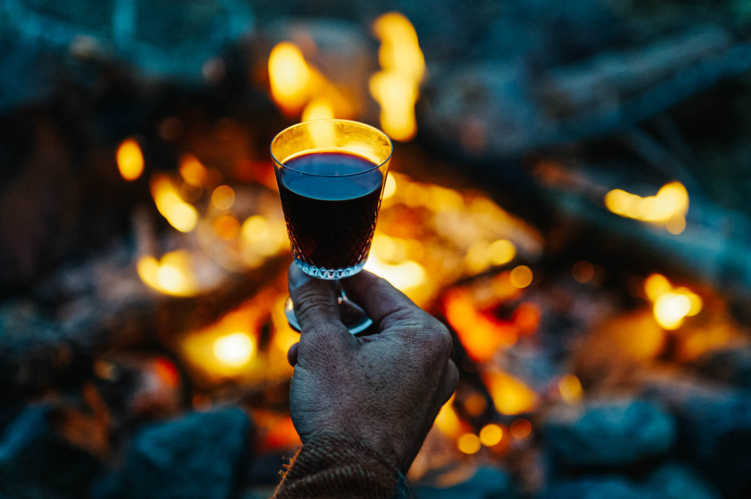
Mulled wine is perfect for cold nights by the fire.

Mulled wine is perfect for cold nights by the fire.

One morning, we woke up to snow!

One morning, we woke up to snow!

Beautiful frost everywhere.

Beautiful frost everywhere.

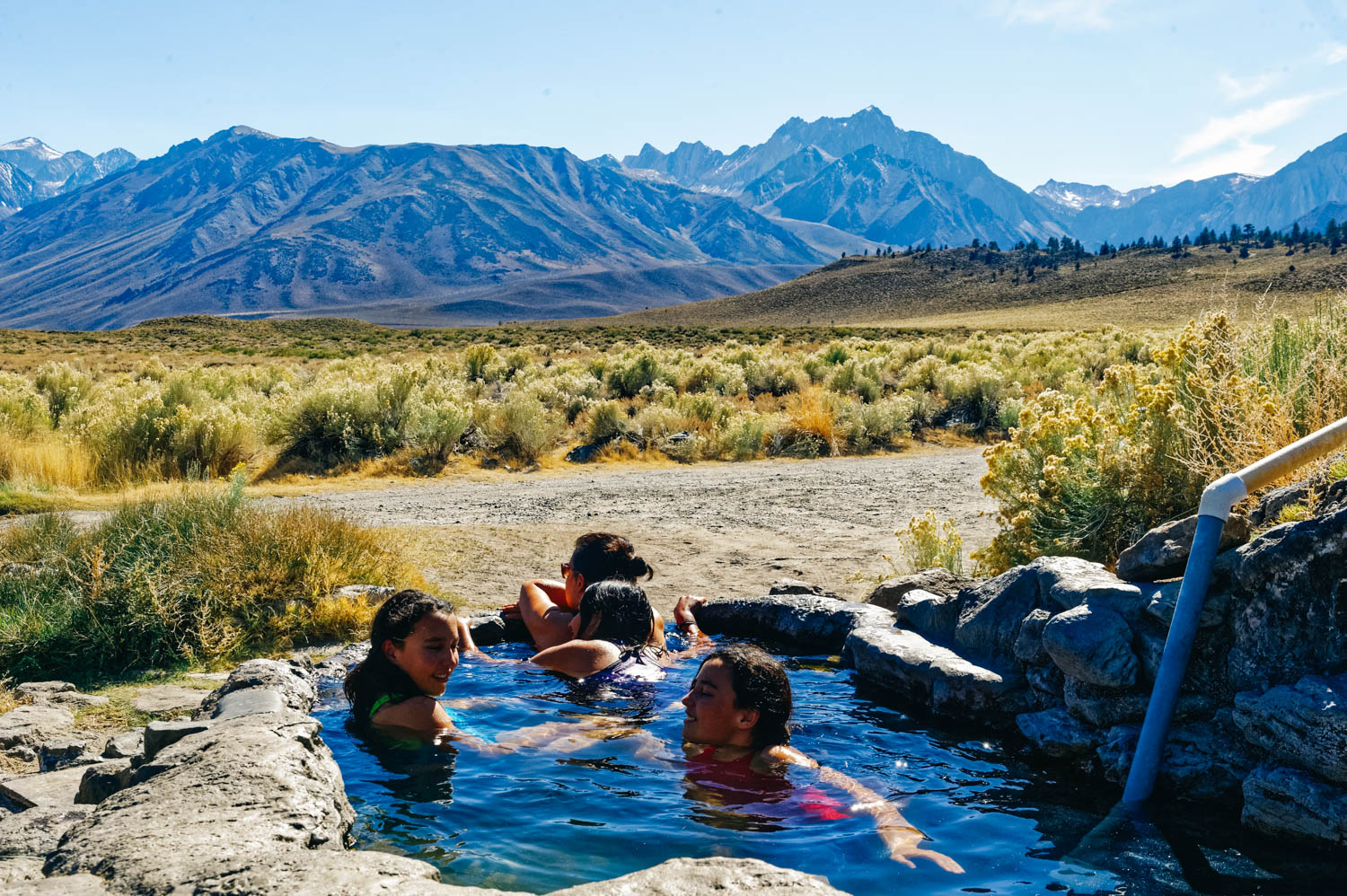
Rock tub hot springs.

Rock tub hot springs.

Rock Tub hot springs.

Rock Tub hot springs.

_CFO8407_DxO.jpg
_CFO8410_DxO.jpg
Hot Creek is NOT a hot spring for swimming. See below.

Hot Creek is NOT a hot spring for swimming. See below.

We rode many times at Mammoth Mountain even if the bike park was officially closed for the season (no lifts), the trails remained open. It is at 9,000 feet in altitude and it was pretty cold. That's the day it was 3 degrees C (35 F). We ended our da…

We rode many times at Mammoth Mountain even if the bike park was officially closed for the season (no lifts), the trails remained open. It is at 9,000 feet in altitude and it was pretty cold. That's the day it was 3 degrees C (35 F). We ended our day at the Mammoth Brewery. Delicious beer and food. Don't miss it if you are in the area.

mm.jpg
Devil's Postpile National Monument.

Devil's Postpile National Monument.

Devil's Postpile seen from above (left) and another cool basalt columns formation from the area on the right.

Devil's Postpile seen from above (left) and another cool basalt columns formation from the area on the right.

Exploring Obsidian Dome.

Exploring Obsidian Dome.

Full moon rise over our camp.

Full moon rise over our camp.

Rock climbing at Owens River Gorge.

Rock climbing at Owens River Gorge.

The class 3 scramble approach to get to the crag at Owen River Gorge was quite something with big packs and a big dog!

The class 3 scramble approach to get to the crag at Owen River Gorge was quite something with big packs and a big dog!

Our free campsite at Shepard's hot springs.

Our free campsite at Shepard's hot springs.

You can see the bus in the distance.

You can see the bus in the distance.

Perfect way to start the day.

Perfect way to start the day.

Or to end it.

Or to end it.

The Crab Cooker was our favorite of the 3 hot springs we visited. It was also the cleanest (it looked like it had just been emptied and scrubbed). It was only a 5 minute walk from our camping spot at Shepard's Hot Spring. And yes, all this is on BLM…

The Crab Cooker was our favorite of the 3 hot springs we visited. It was also the cleanest (it looked like it had just been emptied and scrubbed). It was only a 5 minute walk from our camping spot at Shepard's Hot Spring. And yes, all this is on BLM land (and free!).

Walking back to camp from the Crab Cooker tub.

Walking back to camp from the Crab Cooker tub.

One of the things your learn after many years on the road is that if you find a gem of a secret spot to camp in, you don't share it on social medias or camping sites/apps. Another thing that you learn is that if there is a long weekend coming, you stay put. Even if you would really like to go climbing at Owens River Gorge and take advantage of that long weekend yourself (because no, we do not make our work schedule and have full days off only on weekends). On long weekends, you stay around camp and explore less popular spots. For your own sanity.

There is a lot to do in the Mammoth Lakes ares. There is an awesome bike resort with lots of amazing trails. Mammoth Mountain closes mid-September, but the trails remain open for riders to enjoy. At 9,000 feet of altitude, it can get cold at this time of year. We went riding in 3 degree C weather (that's 35 F). There is also a great brewery (Mammoth Brewery), perfect for an after-ride brew and delicious meal.

There are also many hot springs in the areas, the most popular being Hilltop (aka Pulkey's) and Wild Willy's. These are often full of people. The thing is, most of the springs are bathtub size and can sit 4 to 5 persons at most (Wild Willy being the exception, there are a few pools there that can accommodate more people), so if you get there and they are full, the courtesy is to leave (not wait there or worst, try to squeeze in). Many of these are clothing optional too.

We really liked Rock Tub since it is right by the little parking area and you don't have to hike to find out if it's full or not. The first time we tried to go to the hot springs, on a very cold night after our bike ride, we found it full, so we turned around, checked out Hilltop and Wild Willy's which were also full... It's the reality of it... It's high season here and there are not secret spots anymore. So we came back the next day in the afternoon and lucked out as the man bathing there was just done. During the hour we were there, 3 or 4 cars drove in, saw that the tub was busy and turned around. The water gets pretty dirty from all the people (even if there is a constant flow in and out. There is a plug at the bottom, so you can empty the tub and let it fill back up. You can also bring a brush to scrub the slippery algea that covers the bottom if you want. Obviously, don't use any soap in the tubs!

We also explored Shepard's Tub and the Crab Cooker, that are *a bit* less busy. We ended up camping there for 2 nights and enjoying Shepard's Tub and the Crab Cooker morning and night. It was heavenly after a day of climbing! If you decide to go camp near a hot spring, remember that this is a public place and do not hug the tub (or park very near it). People will likely come and go every hour or so (and at every hour of the night on weekends!), so be warned.

Hot Creek used to be a hot spring in the 60's and 70's. We met a man at Shepard's who used to be a guide and would bring tourists there. He said there was a huge pool where there was always 50 to 60 people. It has been closed for 15-20 years because too many deaths happen there. He told us that most deaths were caused by people trying to rescue their dogs who had fallen in the blue pools of death (the beautiful Icelandic blue pool in the picture above) which is and has always been scalding hot. It is nonetheless a geological wonder where the cold water from the glacier meet the bubbling water from the underground volcanic activity. The ground is unstable in the area because of fumaroles and occasional geyser action also.

Devils Postpile (a National Monument) is an unusual rock formation of 60 feet high basalt columns. It looks like a tidy lumber pile created by OCD giants. They were formed when lava erupted in the valley nearly 100,000 years ago and filled the area to a depth of 400 feet. Then, glaciers overrode the fractured mass of lava. As you can see on the pictures taken from the top, the glaciers cut the hexagonal basalt towers, leaving behind something that looks like a tile floor. The John Muir Trail and Pacific Crest Trail merge into one trail as they pass through the monument.

Obsidian Dome is not your typical cone-shaped dome, but more like a big pile of shiny black rock. It is indeed volcanic glass that was formed by an explosion (a Phreatic Blast) when magma reached the water table, turned the water to steam, cooled and then turned to rock. There is not much else to do there than to simply scramble up and look at the beautiful obsidian formations (be careful, it is slippery). Obsidian is the sharpest natural material known to man, obsidian rocks have played a significant role in the evolution of homo-sapiens' tool-making ability. During the Stone-Age and beyond, obsidian rocks have played a major part as primary cutting tools in many cultures.

2017 Northern Migration - The Canadian part

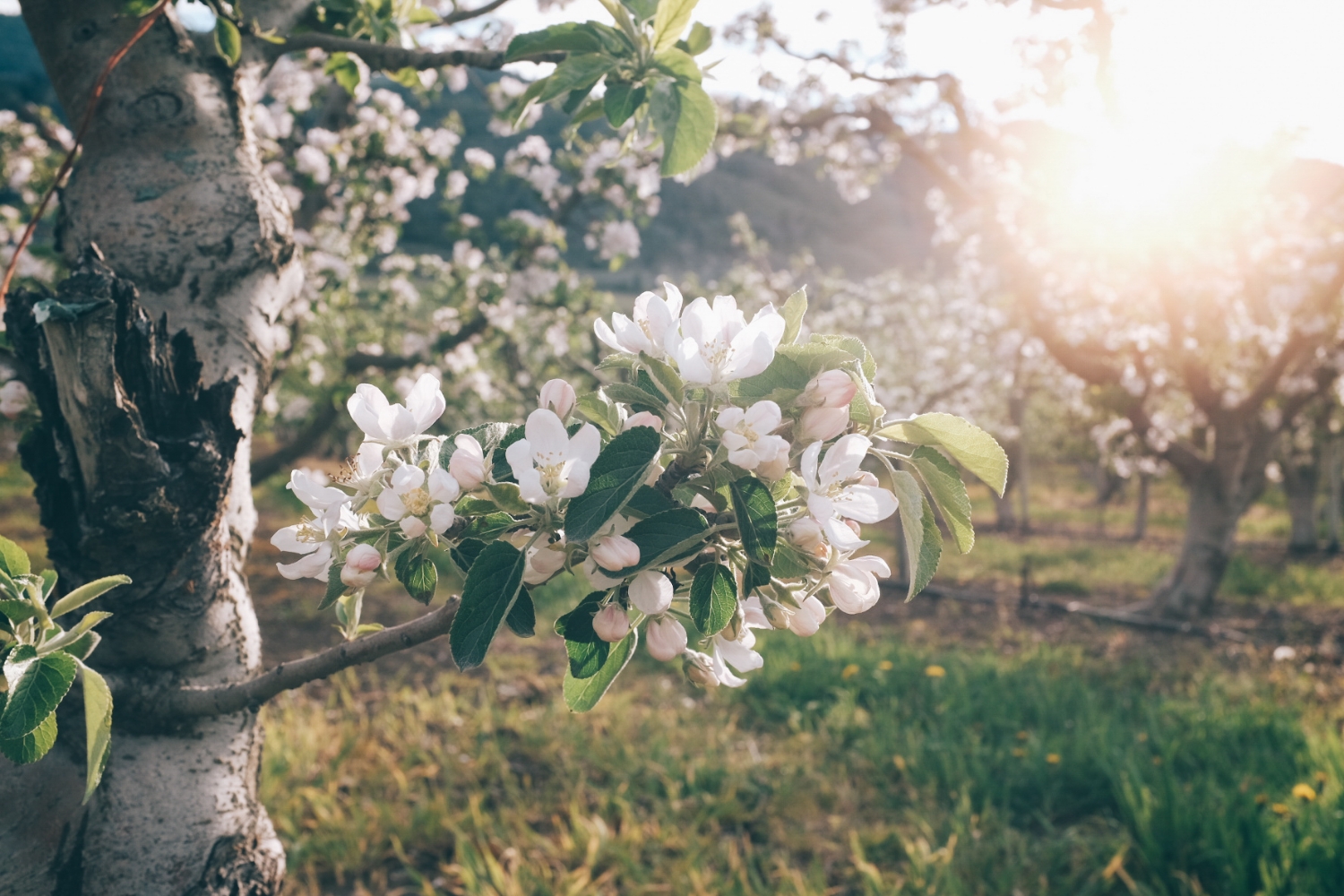
Fruit trees in bloom in the Okanagan Valley, 10 km from the US border in Osoyoos.

Fruit trees in bloom in the Okanagan Valley, 10 km from the US border in Osoyoos.

upload.jpg
upload.jpg
Rock climbing in Skaha Bluffs Provincial park.

Rock climbing in Skaha Bluffs Provincial park.

JF showing the girls how to build an anchor.

JF showing the girls how to build an anchor.

Stout drinking in the Okanagan Lake at Evely Recreation Site campground, a little gem of a campground.

Stout drinking in the Okanagan Lake at Evely Recreation Site campground, a little gem of a campground.

Watercolor by the lake.

Watercolor by the lake.

Brrrr!

Brrrr!

upload.jpg

Such clear water!

Biking in Vernon with friends.

Biking in Vernon with friends.

Camping by Lodgepole Lake, near Kamloops.

Camping by Lodgepole Lake, near Kamloops.

Stout fell through the ice on that lake and gave us quite the scare.

Stout fell through the ice on that lake and gave us quite the scare.

upload.jpg
Dinner by Lake Kamloops.

Dinner by Lake Kamloops.

Late spring and very high water levels everywhere (Kerry Lake).

Late spring and very high water levels everywhere (Kerry Lake).

We got completely stuck in mud going to Inga Lake, just before Wonowon. A towing was needed to get us out of there.

We got completely stuck in mud going to Inga Lake, just before Wonowon. A towing was needed to get us out of there.

There was even snow between Fort St. John and Fort Nelson!

There was even snow between Fort St. John and Fort Nelson!

One of many similar gas stations/motels/restaurant along the Alaska Highway. The guy that lives there had grey skin. He says he spends his winters here all by himself. What a life!

One of many similar gas stations/motels/restaurant along the Alaska Highway. The guy that lives there had grey skin. He says he spends his winters here all by himself. What a life!

Liard Hot Springs.

Liard Hot Springs.

I am unclear about how to handle social media right now. It seems like the blog is more and more a rehashing of what I have published on Instagram and Facebook in the last week or so... I am really enjoying the My Story feature on Instagram right now (the bubbles at the top, where you post little blurbs that disappear after 24 hours, yes, a copy of Snapchat) and this is where I feel more compelled to post. I feel like the IG community is more active now than the FB one... So where does the blog fit in that? Not too sure, but I know I want to keep it up and going. Let me know what you think or what you would like to see more on the blog.

This is a text I published on my personal FB page and on Road it up Instagram. You might have read it already.

As we drive through rows of black spruce, the girls fight over iPad charging cables. I put my earphones back on, close my eyes and go back to the Masai Mara in Kenya with Tsh Oxenreider. I'm listening to her latest book, At Home In The World, the retelling of her year abroad with 3 young kids. She discuses with expats she meets along the way about how intense it is to be with her kids 24/7. I've never known anything else. I've been with my girls day in and day out for 13 years straight. As crazy as it may sound to some, I wouldn't want it any other way. Even on hard days. There were hard days when I worked in an office too (many more!). I smile as I now hear the girls laugh in unisson at a movie on which they finally agreed. I am back in Venice, eating gelato twice a day and drinking an afternoon macchiato with Tsh and her family when I spot a black bear scratching his back on a tree on the side of the Alaska Highway. We're home. Or rather, one of our home. But we're always home in our bus. The outside might be less familiar, but we feel home anywhere. 

I pause Tsh’s book and look ahead, lost in thoughts. What is home anyways? A familiar bed? A favorite mug? A sense of safety and comfort? A smell we recognize and that makes us smile? The way the light filters through the tall branches of trees at 10:30 pm?

I dig my face into the Yukon moss. Yes, I am home, indeed.

2017 Northern Migration - The USA Part

Trying to find Deer Butte Hot Springs, OR.

Trying to find Deer Butte Hot Springs, OR.

Found it. Don't go looking for it... it has become a foot bath.

Found it. Don't go looking for it... it has become a foot bath.

The water was unusually high this spring and the rock wall that allows to control how much cold water you let in from the river was nowhere to be seen. It was the weirdest experience since the burning hot water from the hot spring was floating on to…

The water was unusually high this spring and the rock wall that allows to control how much cold water you let in from the river was nowhere to be seen. It was the weirdest experience since the burning hot water from the hot spring was floating on top of the freezing cold water from the river. So our thighs were burning while our feet were freezing. We had to keep stirring the water non stop to make it bearable... not the most relaxing experience!

The smell from the Juniper trees at Skull Hollow Campground (Oregon) was amazing. It was the perfect place to camp to enjoy Smith Rock State Park.

The smell from the Juniper trees at Skull Hollow Campground (Oregon) was amazing. It was the perfect place to camp to enjoy Smith Rock State Park.

upload.jpg
Smith Rock SP totally blew our mind. We were taken aback by how thoughtful and well managed the place is. Twenty years ago, it was pretty much only visited by climbers, in fact the bridge didn’t exist and you had to do a tyrolean across the Crooked …

Smith Rock SP totally blew our mind. We were taken aback by how thoughtful and well managed the place is. Twenty years ago, it was pretty much only visited by climbers, in fact the bridge didn’t exist and you had to do a tyrolean across the Crooked River (prior to that you could drive and camp beneath The Monument.) The trail system is great, sustainable and enviro and people friendly. The climbing scene and vibe is great and everyone, climbers and non-climbers, is very friendly. On the left, Mathilde climbing 5 gallon buckets, one of the most popular 5.8s in the park.

Our beautiful camping spot at Frenchman Coulee, Vantage, WA. These are climbing towers you see at the back. They are called The Feathers (or the French Fries). I could see people climbing from my bed! In a few hours, we climbed 6 routes in this sect…

Our beautiful camping spot at Frenchman Coulee, Vantage, WA. These are climbing towers you see at the back. They are called The Feathers (or the French Fries). I could see people climbing from my bed! In a few hours, we climbed 6 routes in this sector and another one on Agathla Tower.

Aisha belaying JF. These girls are getting strong!

Aisha belaying JF. These girls are getting strong!

Mathilde climbing House of Cards, 5.8, on Agathla Tower.

Mathilde climbing House of Cards, 5.8, on Agathla Tower.

Arrowleaf Balsamroot, or the Okanagan sunflower. It's everywhere in the Spring.

Arrowleaf Balsamroot, or the Okanagan sunflower. It's everywhere in the Spring.

When we left Maple Canyon, we quickly worked our way up towards Bend, Oregon, to spend a few days with our friends. We had such a good time, that I didn't take a single picture! We went mountain biking at Phil's trailhead and ended up hiking a part of it in ankle deep snow (tourists!) and shared great meals and drinks! Bend has the most incredible selection of beers and I tasted one of my favorite IPA (RPM from Boneyard Brewery, on tap only). It took me a few years to really enjoy an IPA. For a while I called it skunk pee beer, but I now truly enjoy many IPAs.

I remember my dad telling me that there are some food that you need to taste 10 times before you start appreciating them, as he proceeded to give me a slice of baguette with a tiny piece of Roquefort. There was also brain, frog legs, sweetbread (ris de veau sounds much tamer in French), mussels... and the yearly lobster feast where everybody exclaimed when they cracked open the lobster and found that green stuff that they ate with great delight.

Let’s be honest here, none of this is a love-at-first-sight food, but they do grow on you – some of them at least - to the point that you’ll pay quite a bit of money for it. Think caviar. I’ll always remember the first time I tried black caviar (brought directly from Russia by a client of my family when I lived in Italy)... or when I had risotto al nero di sepia (Italian rice cooked in squid ink... and yes, it’s black).

So what makes a delicacy a delicacy? Is it simply that you have tasted/eaten it enough time with people you loved and that appreciated it that you end up loving it too? Is my brain reminiscing all the joyful dinners with interesting adult conversations that I was allowed to participate in when I was a young teenager and when I could have a little sip of delicious port with the blue cheese? Does my mind remember the pleasure my grandpa had in sucking the lobsters’s little legs that people had left in a pile in the middle of the table covered in newspaper? Do all these memories collide in that one first bite? What do you think?

Northward bound!

Martine has started a tradition to give me a mug evertime I visit. I LOVE this new one!

Snow fight at Lake Louise. The Lake was still frozen, but still a stunning turquoise!

Driving the Icefield Parkway through Banff and Jasper National Park. One of the most stunning drives in BC.

I love that we are following Spring all the way up North (remember the cactus in bloom in Tucson in February and the lilacs in Virgin in March?) and fall all the way down South! My two favorite seasons! Never too hot or too cold to play outside!

Aïsha and I could not resist peaking into this abandoned café and hotel. You probably know by now that I have a thing for abandoned place. This one was pretty sketchy, but fascinating. There is something about witnessing this life frozen in time... …

Aïsha and I could not resist peaking into this abandoned café and hotel. You probably know by now that I have a thing for abandoned place. This one was pretty sketchy, but fascinating. There is something about witnessing this life frozen in time... Of course, when your selling points to attract clients were clean rooms and cable TV, no wonder you went out of business...

As usual, we were treated to a real show on our way North. Bighorn sheep, mountain goats, a wolf, cariboos, moose, lots of bears and even brand new bison babies...

Oh and we stopped at Liard Hot Springs, of course! As close to paradise as you can get!

If you are planning to drive North, I recommend that you come up through Glacier National Park (crossing near Babb), check the Canadian side of Glacier (Waterton Lakes National Park) and head towards Calgary on Highway 2, then to Canmore on the TransCanada Highway (spend some time there, it's a super cool city, lots of biking, hiking, climbing), then a stop in Banff and Lake Louise, and then onto the Icefield Parkway. That's a must! Know that there is no connexion at all in Banff and Jasper National Parks, but there is some in Lake Louise, in Banff and Jasper (town). There are tons of nice hikes to do in these two parks. Our friend Melissa who knows the area pretty well recommended these hikes: Cirque Peak, Parker Ridge, Fish Lake (2 days), Bow Falls, and the little stops like Peyto Lake, Sunwapta falls and Maligne Canyon. Unfortunately, we didn't have time to do any of these this time, but are planning to take some time off work next time to explore more.

Then, take the 16 to Prince George and head North on the 97 to Fort St. John, and all the way up to Whitehorse! The drive between Fort Nelson and Liard is the nicest. Make sure to do it by day as you are likely to see many animals. There are pullouts along the road where you can spend the night. There is a nice flat pullout just before Summit Lake and a few more between Summit Lake and Muncho Lake. There is no signal from Fort Nelson to Watson Lake (you'll get some in Steamboat a little after Fort Nelson). Then, no signal from Watson Lake to Teslin. Make sure to have enough fuel or carry a jerry can of gas with you since the gas stations are far and few, some are closed and some are sometimes out of gas.

I am publishing this post from Teslin, 3 hours from Whitehorse. We'll be there tonight! So excited to be back!

To the land of the midnight sun

DSC_0156.jpg

All the regulars were there: the stone sheep at Muncho Pass, the bison herd near Coal River, the shiny black ravens everywhere along the road. By Watson Lake, we had stopped counting the bears…

There was the tasting of the first fireweeds and a happy dance as we entered the Yukon and recognized the familiar smell of the northern air. “It’s our birthplace!” Mara exhorted. Ahh! The feeling of home. I hope they always feel this way when they come here.

There were barely any bugs at Liard Hot Springs this year, which made for a pleasant soak as we chatted with another traveling family from Quebec. And at 9 pm, the sun was still high in the sky as we inched towards Whitehorse.